Login

Login oublié ?

Cookies have to be accepted!
Your browser's cookie functionality is disabled. Please enable this functionality.

Not a member yet?

Register now
Login

Available for registred users only

Log in to use this feature.

Login oublié ?

Cookies have to be accepted!
Your browser's cookie functionality is disabled. Please enable this functionality.

Not a member yet?

Register now
Filter
Catégories
Advanced filters
  • Longueur (km)
  • Altimètre
Enregistrer le filtre Reset filter

TrackRank

QRCode

Technical data

Longueur43,6 km Altimètre1053 m Way down1044 m Durée05:00 h:m Date19.08.2012
Evaluations Author Paysage Aspect amusement Condition Technique

Statistiques

148 Vues Evaluations 16 Téléchargements Moyenne
Rate
  • Feuille de tours
  • Arrivée
  • Téléchargements

Very nice trip.

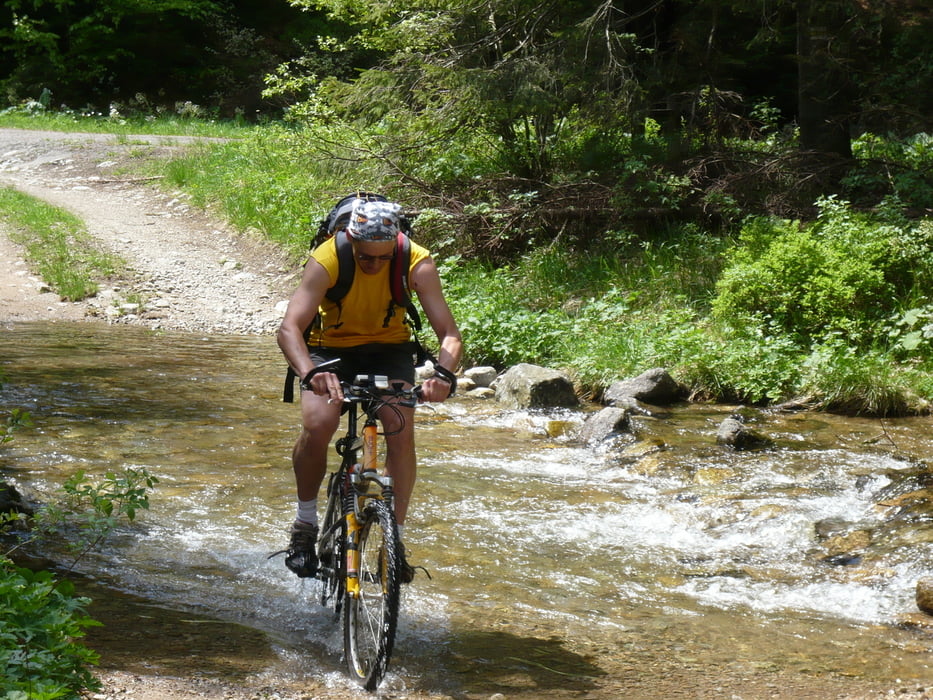
Stupanie na Vlacuhovo je dost ostre. Teren je v pohode ale treba zabojovat.

Z Vlacuhova nadherne vyhlady na vsetky strany. Zjazd od Zliabkov excelentny, skoda len ze kus nad Balazmi sa zmeni na asfaltku.

Carte du tour et altitude

  • Open Street Map
  • Google
Minimum height 382 m Maximum height 1106 m Vue de détail

More about the tour author

Hyros
Member since 2012

Send private message

Commentaires

Start and Finish in Slovenska Lupca.

Tracks GPS

Trackpoints
  • GPX / Garmin Map Source (gpx) download
  • TCX / Garmin Training Center® (tcx) download
  • CRS / Garmin Training Center® (crs) download
  • Google Earth (kml) download
  • G7ToWin (g7t) download
  • TTQV (trk) download
  • Overlay (ovl) download
  • Fugawi (txt) download
  • Kompass (DAV) Track (tk) download
  • Feuille de tours (pdf) download
  • Original file of the author (gpx) download

More about the tour author

Hyros
Member since 2012

Send private message
Share track
Add to my favorites
Remove from my favorites
Edit tags
My score
Rate
Tour: Lupca - Vlacuhovo - Hruby - Krcahy - Lupca
Cat.: Mountainbike
Longueur: 43,6 km
Evaluated on:
Durée:
Day(s)
Hour(s)
Minute(s)
Evaluation: Paysage Aspect amusement Condition Technique