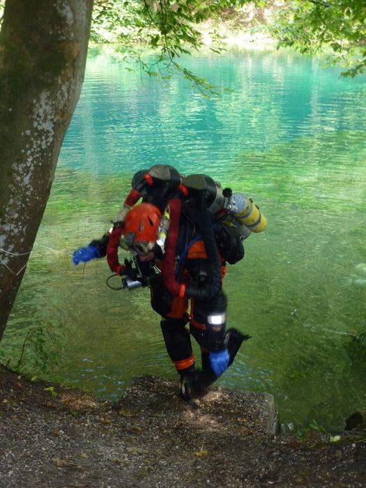
Unsere Runde beginnt und endet in Pfaffenhofen. Mit dem Blautopf steuern wir ein ganz besonderes Ziel in der Region an. In der Schwäbischen Alb geht es immer wieder einige happige Anstiege hinauf, wir werden mit faszinierenden Tief- und Weitblicken entschädigt. Und die Rückfahrt nach Pfaffenhofen wird zu einem spannenden Finale.
Galerie du tour
Carte du tour et altitude
Minimum height 446 m
Maximum height 681 m
Commentaires

Die Tour beginnt und endet in Pfaffenhofen.
Tracks GPS
Trackpoints-
GPX / Garmin Map Source (gpx) download
-
TCX / Garmin Training Center® (tcx) download
-
CRS / Garmin Training Center® (crs) download
-
Google Earth (kml) download
-
G7ToWin (g7t) download
-
TTQV (trk) download
-
Overlay (ovl) download
-
Fugawi (txt) download
-
Kompass (DAV) Track (tk) download
-
Feuille de tours (pdf) download
-
Original file of the author (gpx) download
Add to my favorites
Remove from my favorites
Edit tags
Open track
My score
Rate


