


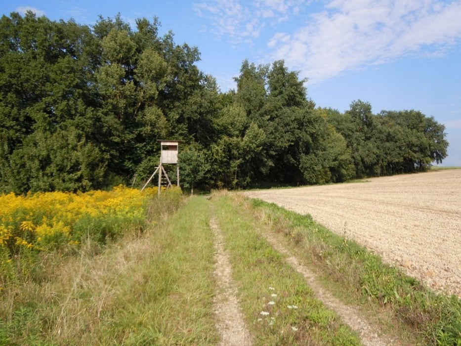
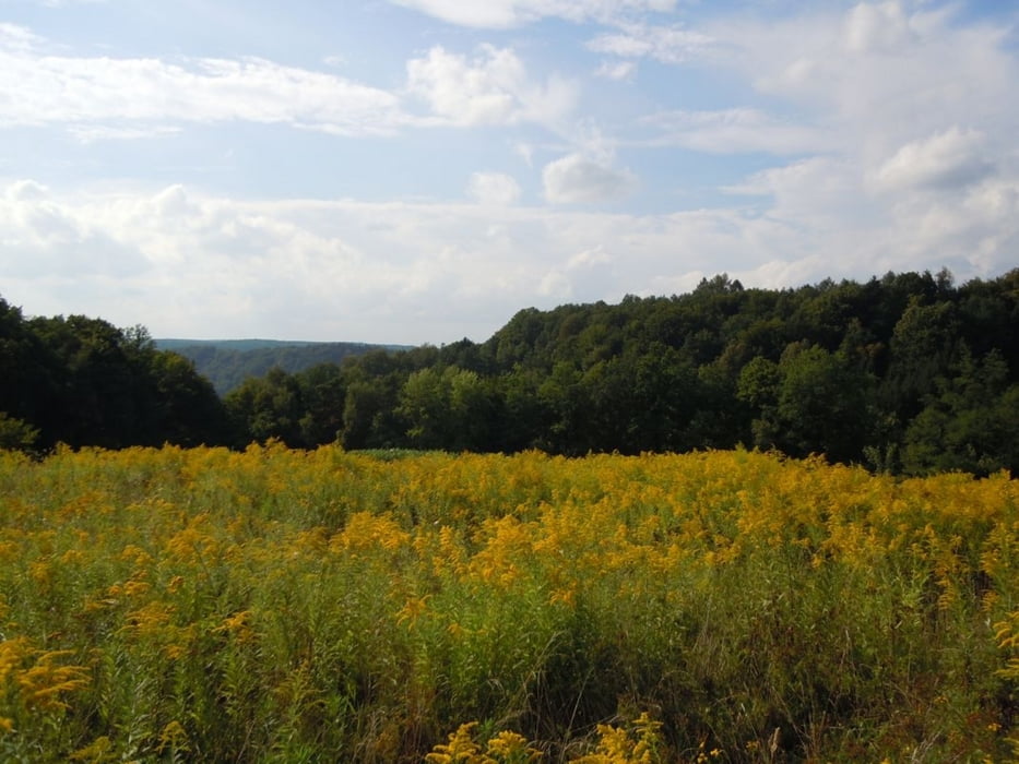
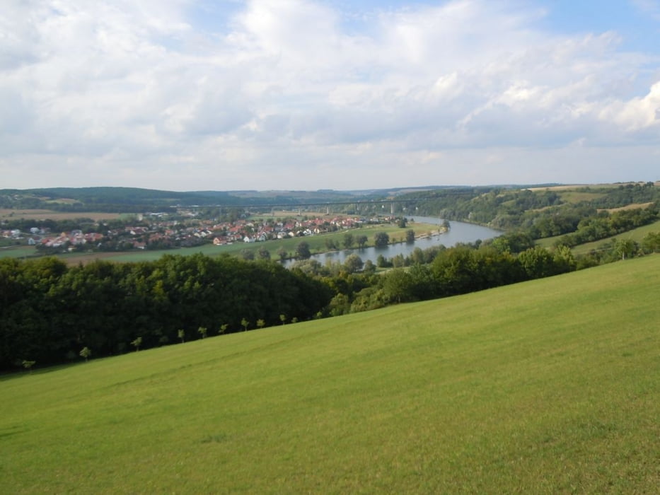
Von Thalmassing gehts los auf der Strecke des Landkreislaufs, dann in Richtung Poign auf Feldwegen unter der A93 Richtung Peising, durch Peising nach Bad Abbach und von dort über Oberndorf auf wirklich schönen Wegen Richtung Pentling - an der Walba kommt nochmal ein harter Aufstieg über Wurzeln - hier ist bei schlechtem Wetter Vorsicht angesagt - der Blick nach dem Wald kurz vor Pentling entlohnt für den Aufstieg. Von Pentling bis Hölkering ist ein kurzer Weg auf der Straße zurück zu legen - danach gehts wieder weiter auf Feldwegen nach Hohengebraching. Danach über Feldwege nach Seedorf, Poign, Weillohe und Thalmassing.
Galerie du tour
Carte du tour et altitude
Minimum height 338 m
Maximum height 461 m
More about the tour author
|
|
Herzblut |
Commentaires
Tracks GPS
Trackpoints-
GPX / Garmin Map Source (gpx) download
-
TCX / Garmin Training Center® (tcx) download
-
CRS / Garmin Training Center® (crs) download
-
Google Earth (kml) download
-
G7ToWin (g7t) download
-
TTQV (trk) download
-
Overlay (ovl) download
-
Fugawi (txt) download
-
Kompass (DAV) Track (tk) download
-
Feuille de tours (pdf) download
-
Original file of the author (gpx) download
More about the tour author
|
|
Herzblut |
Add to my favorites
Remove from my favorites
Edit tags
Open track
My score
Rate
Schön