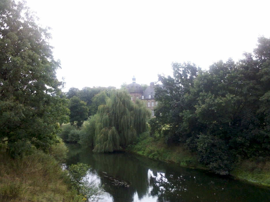
Vom Hbf Hamm erreicht man nach einigen Metern an der Kreuzung „Neue Bahnhofstr./Hohe Str.“ wieder die ausgeschilderte Römerroute. Vom „Hellinghäuser Weg“ bin ich nicht nach links in den „Hagedornsweg“ abgebogen, sondern der Straße weiter gefolgt nach Lippstadt Bf.
Galerie du tour
Carte du tour et altitude
Minimum height 58 m
Maximum height 87 m
Commentaires

Tracks GPS
Trackpoints-
GPX / Garmin Map Source (gpx) download
-
TCX / Garmin Training Center® (tcx) download
-
CRS / Garmin Training Center® (crs) download
-
Google Earth (kml) download
-
G7ToWin (g7t) download
-
TTQV (trk) download
-
Overlay (ovl) download
-
Fugawi (txt) download
-
Kompass (DAV) Track (tk) download
-
Feuille de tours (pdf) download
-
Original file of the author (gpx) download
Add to my favorites
Remove from my favorites
Edit tags
Open track
My score
Rate


