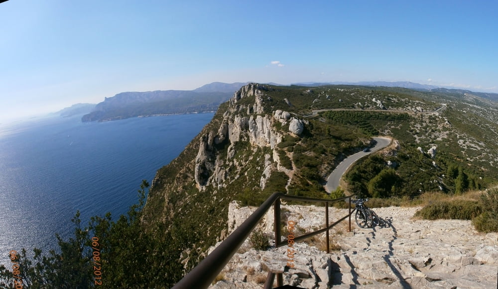
Diese klassische Tour für Autofahrer ist auch sehr schön mit dem Fahrrad zu machen.
Er bietet ein spektäkuläre Ansicht auf die Küste, mit Felsen von über 394 Höhenmeter.
Der Rückfahrt von Cassis bis La Ciotat ist am Anfang schwieriger, wo eine Steigung von 30% erreicht wird
Galerie du tour
Carte du tour et altitude
Minimum height -2 m
Maximum height 367 m
Commentaires

Tracks GPS
Trackpoints-
GPX / Garmin Map Source (gpx) download
-
TCX / Garmin Training Center® (tcx) download
-
CRS / Garmin Training Center® (crs) download
-
Google Earth (kml) download
-
G7ToWin (g7t) download
-
TTQV (trk) download
-
Overlay (ovl) download
-
Fugawi (txt) download
-
Kompass (DAV) Track (tk) download
-
Feuille de tours (pdf) download
-
Original file of the author (gpx) download
Add to my favorites
Remove from my favorites
Edit tags
Open track
My score
Rate

