


24.8.2012
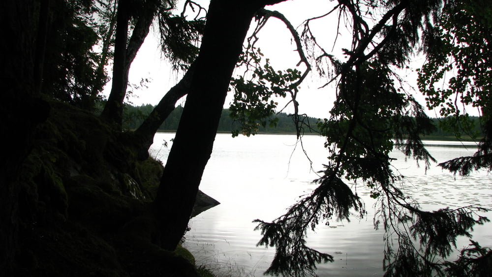
Pešo z letiska do Nykopingu, cestou začalo pršať, tak ma zobral autobusár. V meste opäť slnečno. Trochu som si ho pozrel, nakúpil proviant a vybral sa na sever popri rieke. Mal som v pláne prespať v jednom z prístreškov na Sormlandsleden. Konkrétne pri jazere Hovrasjon mali byť 2. No nejako som ich neobjavil, len akýsi altánok. Tak som zhodnotil situáciu. Buď prespať niekde pri/v meste alebo na letisku. Tam bolo ubytko isté, aj WC tam majú. Nejaké lavička by sa určite našla. Vybral som sa teda tam. Cestou sa však značne rozpršalo, v čom som šiel 4 km. Celý som bol premočený. Letisko padlo, šiel som do hotela, kde som nechal 625 SEK. Ale nemal som na výber, ak som nechcel hneď na začiatku prechladnúť a chodiť v mokrom...
Galerie du tour


Carte du tour et altitude
Minimum height 6 m
Maximum height 87 m
More about the tour author
|
|
tmax |
Commentaires

Skavsta
Tracks GPS
Trackpoints-
GPX / Garmin Map Source (gpx) download
-
TCX / Garmin Training Center® (tcx) download
-
CRS / Garmin Training Center® (crs) download
-
Google Earth (kml) download
-
G7ToWin (g7t) download
-
TTQV (trk) download
-
Overlay (ovl) download
-
Fugawi (txt) download
-
Kompass (DAV) Track (tk) download
-
Feuille de tours (pdf) download
-
Original file of the author (gpx) download
More about the tour author
|
|
tmax |
Add to my favorites
Remove from my favorites
Edit tags
Open track
My score
Rate