Login

Login oublié ?

Cookies have to be accepted!
Your browser's cookie functionality is disabled. Please enable this functionality.

Not a member yet?

Register now
Login

Available for registred users only

Log in to use this feature.

Login oublié ?

Cookies have to be accepted!
Your browser's cookie functionality is disabled. Please enable this functionality.

Not a member yet?

Register now
Filter
Catégories
Advanced filters
  • Longueur (km)
  • Altimètre
Enregistrer le filtre Reset filter

TrackRank

QRCode

Technical data

Longueur520,6 km Altimètre15221 m Way down15255 m Durée2 days 0 h Date09.09.2012
Evaluations Author Paysage Aspect amusement Condition Technique

Statistiques

321 Vues Evaluations 21 Téléchargements Moyenne
Rate
  • Feuille de tours
  • Arrivée
  • Téléchargements


Am 1.Tag:

-Innertkirchen zum Kaffeehalt,


über den Susten, Oberalp nach S.Benedetg zum Mittagessen im Rest. Miraval

SUPER FEIN GEGESSEN!
 

nach dem Mittagessen geht es weiter nach Ilanz, Bonaduz, Tiefencastel, Lenzerheide,
nach Maienfeld. (Strecke am hinteren Rhein entlang ist super schön)

2. Tag:

Route: Maienfeld, Netstal, über den Pragelpass, Schwyz, Stans, über den Ächerlipass ins Entlebuech, Langnau, Worb zum Abschlusstrunk.
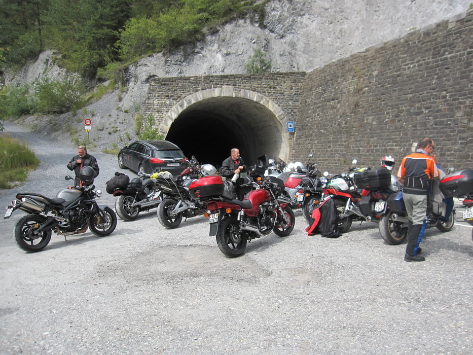
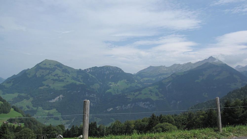
Galerie du tour

Carte du tour et altitude

  • Open Street Map
  • Google
Minimum height 434 m Maximum height 2235 m Vue de détail

More about the tour author

zoetteler
Member since 2011

Send private message

Commentaires

Tracks GPS

Trackpoints
  • GPX / Garmin Map Source (gpx) download
  • TCX / Garmin Training Center® (tcx) download
  • CRS / Garmin Training Center® (crs) download
  • Google Earth (kml) download
  • G7ToWin (g7t) download
  • TTQV (trk) download
  • Overlay (ovl) download
  • Fugawi (txt) download
  • Kompass (DAV) Track (tk) download
  • Feuille de tours (pdf) download
  • Original file of the author (gpx) download

More about the tour author

zoetteler
Member since 2011

Send private message
Share track
Add to my favorites
Remove from my favorites
Edit tags
My score
Rate
Tour: Ausflug nach Graubünden
Cat.: Moto
Longueur: 520,6 km
Evaluated on:
Durée:
Day(s)
Hour(s)
Minute(s)
Evaluation: Paysage Aspect amusement Condition Technique