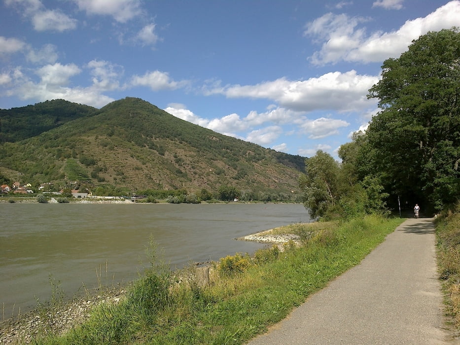
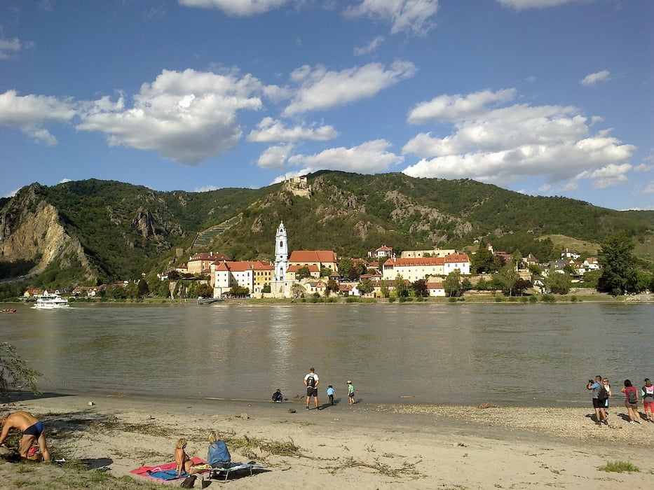
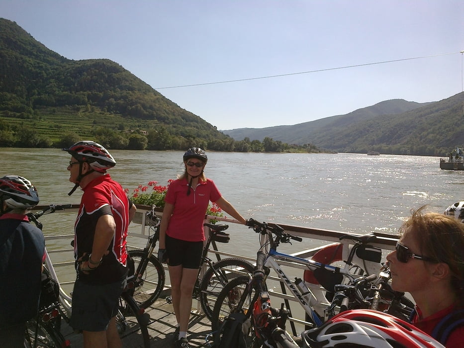
von Krems direkt beim Schiffahrtszentrum entlang des Radweges bis Spitz, übersetzen mit der Fähre, am anderen Ufer retour bis Mautern, über die Brücke zurück zum Parkplatz zum Schiffahrtszentrum. Entlang der Strecke schöne Einkehrmöglichkeiten bei Heurigen oder Gasthäuser, Kaffee usw. Landschaftlich traumhaft, sehr gut ausgebaute Radwege.
Galerie du tour
Carte du tour et altitude
Minimum height 197 m
Maximum height 224 m
Commentaires

Tracks GPS
Trackpoints-
GPX / Garmin Map Source (gpx) download
-
TCX / Garmin Training Center® (tcx) download
-
CRS / Garmin Training Center® (crs) download
-
Google Earth (kml) download
-
G7ToWin (g7t) download
-
TTQV (trk) download
-
Overlay (ovl) download
-
Fugawi (txt) download
-
Kompass (DAV) Track (tk) download
-
Feuille de tours (pdf) download
-
Original file of the author (tcx) download
Add to my favorites
Remove from my favorites
Edit tags
Open track
My score
Rate


