


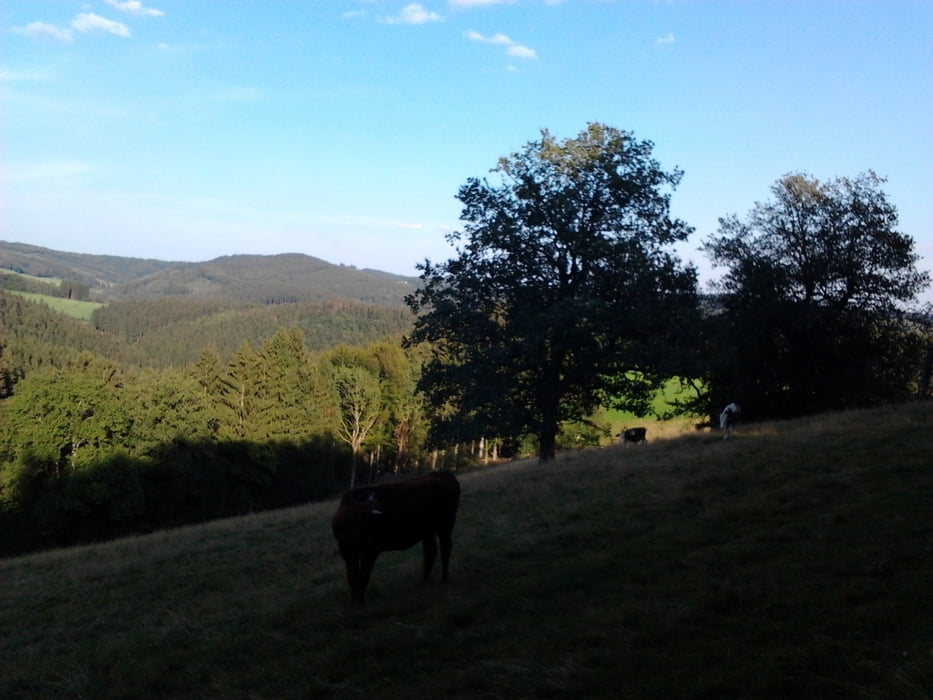
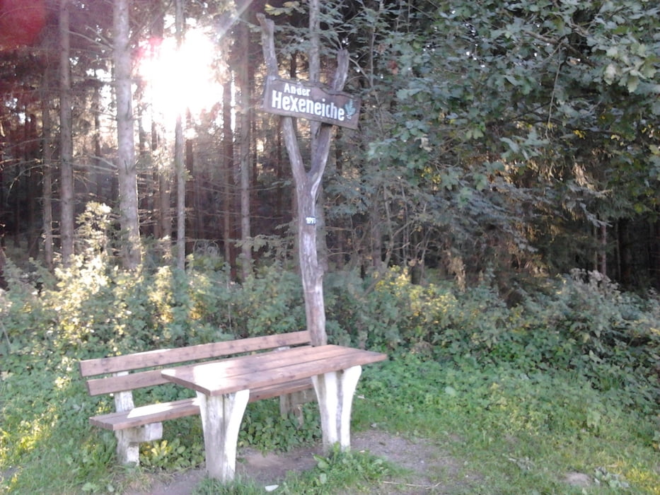
Wir sind die sehr lohnenswerte Tour entgegen dem Uhrzeigersinn gewandert. Sie bietet schöne Aussichten auf die Talsperren und führt durch tolle Landschaften auf meist guten Wegen. In Lantenbach führt der Weg an einem Imbiss (Alt-Aggersee) vorbei, in dem man wie wir finden gut essen und trinken kann. Kurz vor Deitenbach haben wir uns verlaufen (siehe hin und her Weg), den kann man sich sparen und somit auch ca. 1 km Gesamtstrecke.
Startpunkt ist der Parkplatz in der Nähe vom Naturfreundehaus Heed.
Viel Spaß!
Galerie du tour


Carte du tour et altitude
Minimum height 276 m
Maximum height 428 m
More about the tour author
|
|
Tomate87 |
Commentaires

Tracks GPS
Trackpoints-
GPX / Garmin Map Source (gpx) download
-
TCX / Garmin Training Center® (tcx) download
-
CRS / Garmin Training Center® (crs) download
-
Google Earth (kml) download
-
G7ToWin (g7t) download
-
TTQV (trk) download
-
Overlay (ovl) download
-
Fugawi (txt) download
-
Kompass (DAV) Track (tk) download
-
Feuille de tours (pdf) download
-
Original file of the author (gpx) download
More about the tour author
|
|
Tomate87 |
Add to my favorites
Remove from my favorites
Edit tags
Open track
My score
Rate