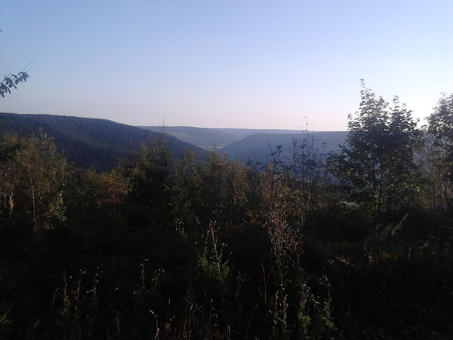
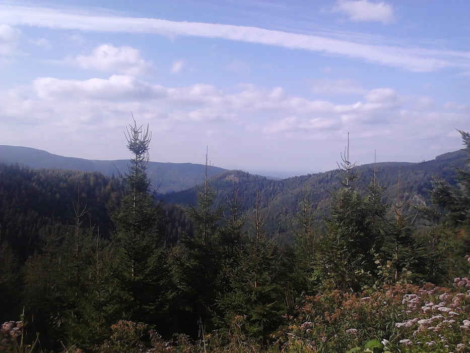
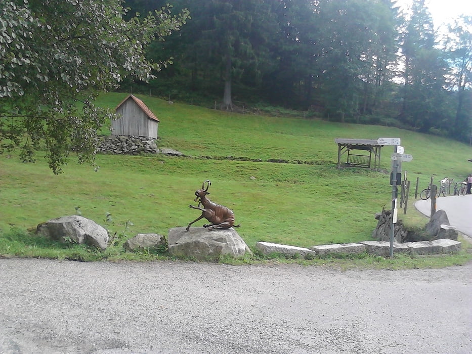
Fast nur befestigte Waldwege, aber sehr gut zum fahren.
(- In Schwarzenberg gibt es einen kleinen Umweg, wegen Bauarbeiten.
- Abfahrt nach Klosterreichenbach bitte nächste Abfahrt,siehe Karte.
Stand 14.09.2012 )
Galerie du tour
Carte du tour et altitude
Minimum height 102 m
Maximum height 985 m
Commentaires

Start und Ende am Parkplatz Lidl ( Oder Sportplatz ) in Baiersbronn .
Tracks GPS
Trackpoints-
GPX / Garmin Map Source (gpx) download
-
TCX / Garmin Training Center® (tcx) download
-
CRS / Garmin Training Center® (crs) download
-
Google Earth (kml) download
-
G7ToWin (g7t) download
-
TTQV (trk) download
-
Overlay (ovl) download
-
Fugawi (txt) download
-
Kompass (DAV) Track (tk) download
-
Feuille de tours (pdf) download
-
Original file of the author (gpx) download
Add to my favorites
Remove from my favorites
Edit tags
Open track
My score
Rate


