Login

Login oublié ?

Cookies have to be accepted!
Your browser's cookie functionality is disabled. Please enable this functionality.

Not a member yet?

Register now
Login

Available for registred users only

Log in to use this feature.

Login oublié ?

Cookies have to be accepted!
Your browser's cookie functionality is disabled. Please enable this functionality.

Not a member yet?

Register now
Filter
Catégories
Advanced filters
  • Longueur (km)
  • Altimètre
Enregistrer le filtre Reset filter

TrackRank

QRCode

Technical data

Longueur33,6 km Altimètre1750 m Way down1753 m Durée03:00 h:m Date16.09.2012
Evaluations Author Paysage Aspect amusement Condition Technique

Statistiques

1457 Vues Evaluations 231 Téléchargements Moyenne
Rate
  • Feuille de tours
  • Arrivée
  • Téléchargements

liftunterstützte Endurotour von Aschbachbahn (700hm)  über Vigiljoch zur Naturnser Alp, auf Almenweg S2 zur Mauslochalpe und auf S2 Trail nach Naturns, zurück auf Etschradweg.

In Naturns am Etschradweg war ein schönes Cafe.

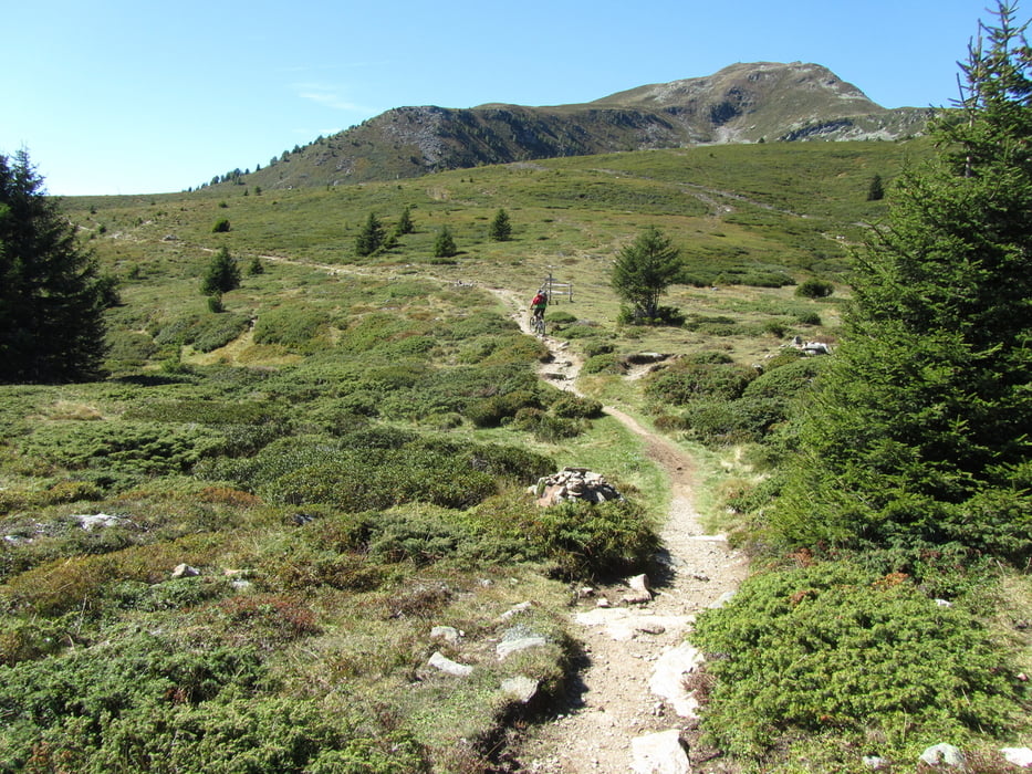
An der Mauslochalpe kann man zum Hochwart laufen, das bike kann bei ca. 2000m bleiben.  

Galerie du tour

Carte du tour et altitude

  • Open Street Map
  • Google
Minimum height 524 m Maximum height 2005 m Vue de détail

More about the tour author

skyhopper
Member since 2005

Send private message

Commentaires

 Parken an  der Aschbachbahn in Raabland

Tracks GPS

Trackpoints
  • GPX / Garmin Map Source (gpx) download
  • TCX / Garmin Training Center® (tcx) download
  • CRS / Garmin Training Center® (crs) download
  • Google Earth (kml) download
  • G7ToWin (g7t) download
  • TTQV (trk) download
  • Overlay (ovl) download
  • Fugawi (txt) download
  • Kompass (DAV) Track (tk) download
  • Feuille de tours (pdf) download
  • Original file of the author (gpx) download

More about the tour author

skyhopper
Member since 2005

Send private message
Share track
Add to my favorites
Remove from my favorites
Edit tags
My score
Rate
Tour: Vinschgau: Vigiljoch - Mauslochalpe - Naturns
Cat.: Mountainbike
Longueur: 33,6 km
Evaluated on:
Durée:
Day(s)
Hour(s)
Minute(s)
Evaluation: Paysage Aspect amusement Condition Technique