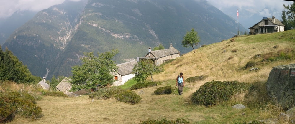
Die Idee zu der Tour stammt aus dem Rother Wanderführer „Tessin“, Route 32. Rother kündigt sie an mit „anstrengender Anstieg zu einem einsamen Badevergnügen“.
Bei der Wanderung ist jedoch nicht der Weg sondern vielmehr der See das Ziel!! Deshalb haben wir die Route entschlackt. Startpunkt war bei uns ein kleiner Parkplatz in Linescio.
Aber Achtung - in einem einsamen Paradies gibt es keinen Wasserrettungsdienst! Außerdem sollte man einplanen, dass es trotz Hitze im Tal oben am See recht frisch sein kann.
Spannern geht freilich bis hierhin die Puste aus!?
Further information at
http://www.ticino.ch/de/Galerie du tour
Carte du tour et altitude
Minimum height 636 m
Maximum height 1782 m
Commentaires

Aus Deutschland kommend fährt man am besten durch den San Bernardino-Tunnel und bezahlt dann Autobahnmaut in Austria und in der Schweiz, aber das Benzin ist halt viel billiger ….!! Dann geht es noch sehr weit ins Maggiatal hinein. Aber für Camper am Waldbad in Freiberg ist es eh ein bisschen weit!? ;-)
Tracks GPS
Trackpoints-
GPX / Garmin Map Source (gpx) download
-
TCX / Garmin Training Center® (tcx) download
-
CRS / Garmin Training Center® (crs) download
-
Google Earth (kml) download
-
G7ToWin (g7t) download
-
TTQV (trk) download
-
Overlay (ovl) download
-
Fugawi (txt) download
-
Kompass (DAV) Track (tk) download
-
Feuille de tours (pdf) download
-
Original file of the author (gpx) download
Add to my favorites
Remove from my favorites
Edit tags
Open track
My score
Rate


