


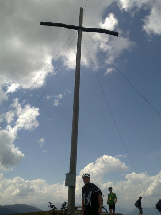
Vill-Zumis-Astalm-Wieseralm-Glittner See-Col da Le-
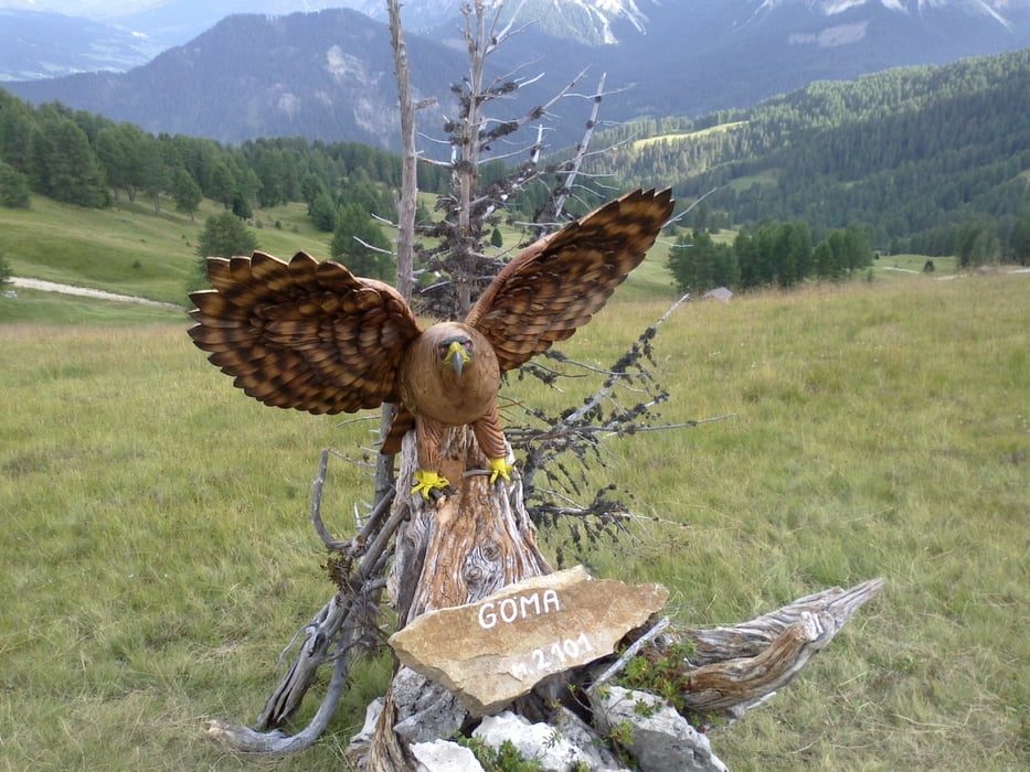
Lüsener Joch-Mauraberhütte-Würzjoch-Utia de Goma-
Passo Goma-Campill/Lungiarü
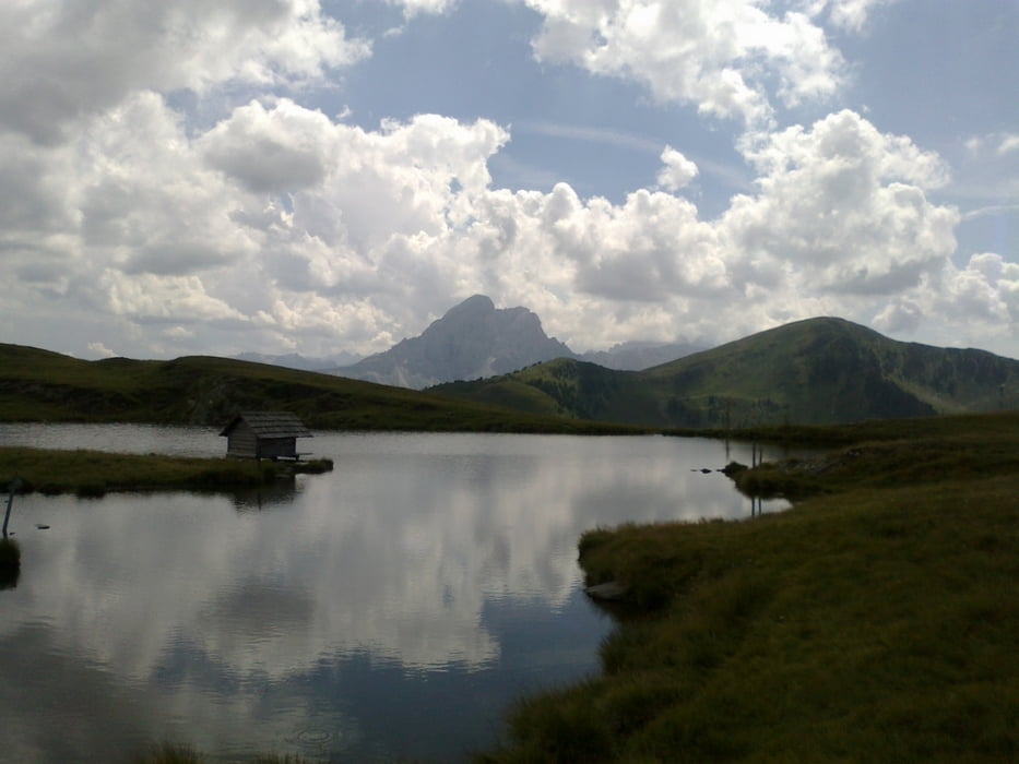
Einzigartiges Höhenwegabenteuer: fast den ganzen Tag zw. 1800 und 2200 m Seehöhe unterwegs mit den Dolomiten vor Augen!
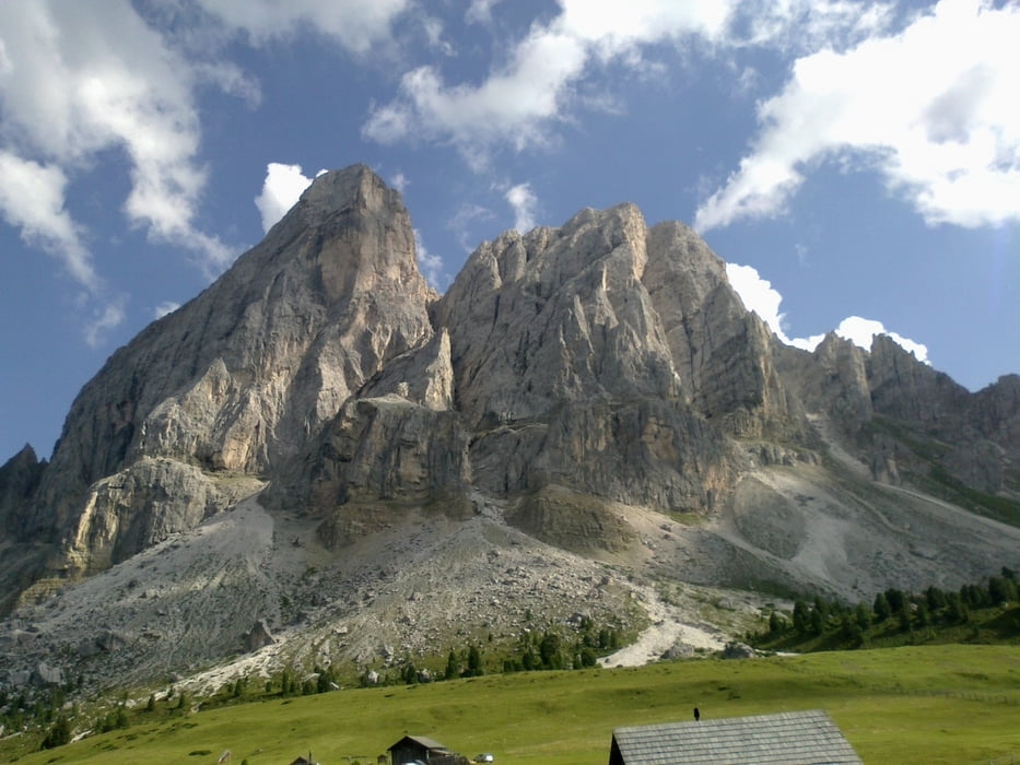
Die Umrundung vom Peitler Kogel hatte dann noch einige tolle Singletrails aber auch harte Schiebepassagen zu bieten.
Insgesamt ein toller Mix von Schotterstraßen und Almwegen. Panorama durchwegs umwerfend!
ME auf der Wieseralm gut und sehr lustig! Hotel Sanvi urige Unterkunft mit tollem AE. 47 € HP!
Galerie du tour
Carte du tour et altitude
Minimum height 895 m
Maximum height 2174 m
More about the tour author
|
|
mitter |
Commentaires

Start in Vill (Rodeneck).
Tracks GPS
Trackpoints-
GPX / Garmin Map Source (gpx) download
-
TCX / Garmin Training Center® (tcx) download
-
CRS / Garmin Training Center® (crs) download
-
Google Earth (kml) download
-
G7ToWin (g7t) download
-
TTQV (trk) download
-
Overlay (ovl) download
-
Fugawi (txt) download
-
Kompass (DAV) Track (tk) download
-
Feuille de tours (pdf) download
-
Original file of the author (gpx) download
More about the tour author
|
|
mitter |
Add to my favorites
Remove from my favorites
Edit tags
Open track
My score
Rate