

Start ist in Obertal am Hotel Adler, da gibt es direkt gegenüber am Feuerwehrhaus einen Parkplatz.
Baiersbronn-Obertal → Mitteltal → Ellbach → Böser Ellbach → Elbachsee → Stöckerkopf ( Kaffee Pause ) → Baiersbronn → Sommerseitenweg → Sattelei Hütte → Labbronenkopf→ Köpfle*
*Im Aiterbächle musste ich die Tour abbrechen und schon auf die Hauptstraße fahren, zu viel Sturmholz auf dem Weg
Stand 09/2012
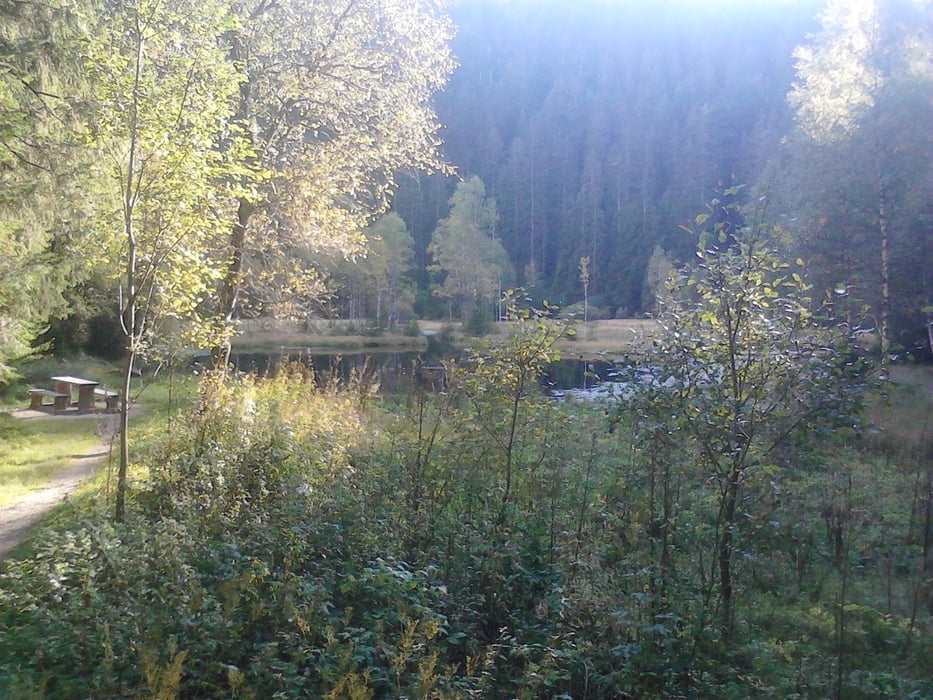
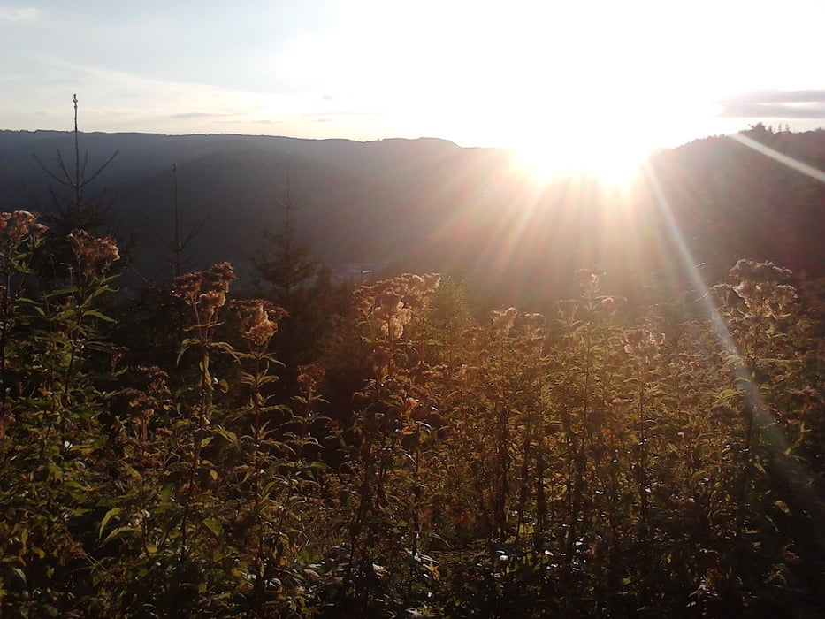
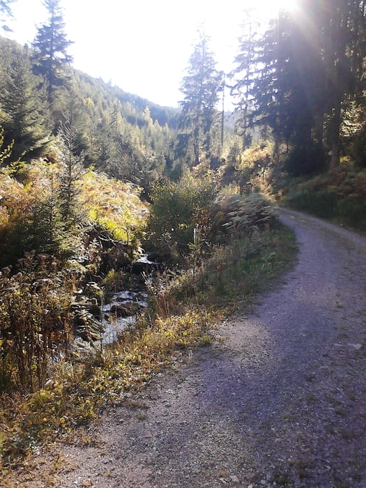
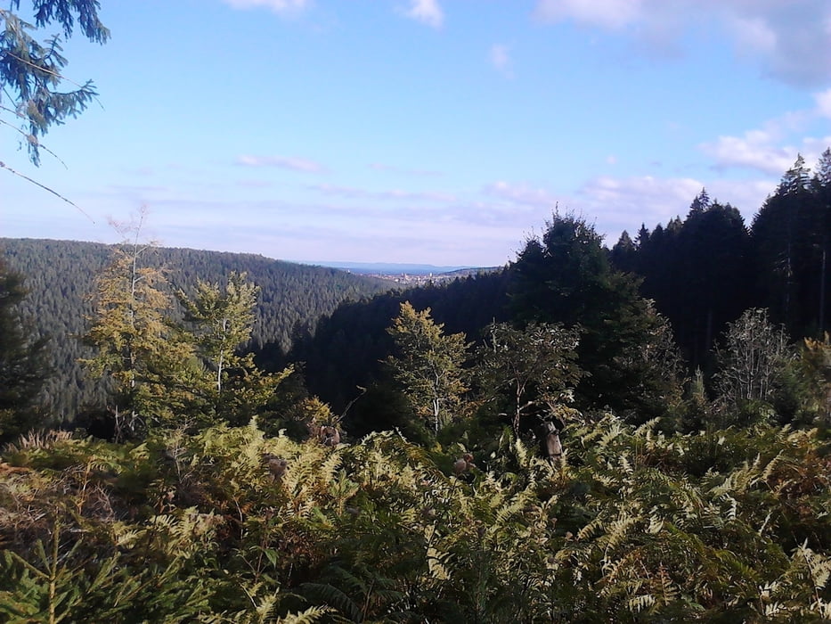
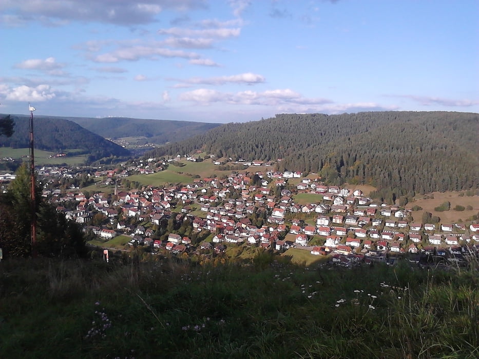
Galerie du tour
Carte du tour et altitude
Minimum height 537 m
Maximum height 930 m
More about the tour author

|
vitaminc |
Commentaires

Start ist in Obertal am Hotel Adler, da gibt es direkt am Feuerwehrhaus einen Parkplatz.
Tracks GPS
Trackpoints-
GPX / Garmin Map Source (gpx) download
-
TCX / Garmin Training Center® (tcx) download
-
CRS / Garmin Training Center® (crs) download
-
Google Earth (kml) download
-
G7ToWin (g7t) download
-
TTQV (trk) download
-
Overlay (ovl) download
-
Fugawi (txt) download
-
Kompass (DAV) Track (tk) download
-
Feuille de tours (pdf) download
-
Original file of the author (gpx) download
More about the tour author
|
|
vitaminc |
Add to my favorites
Remove from my favorites
Edit tags
Open track
My score
Rate