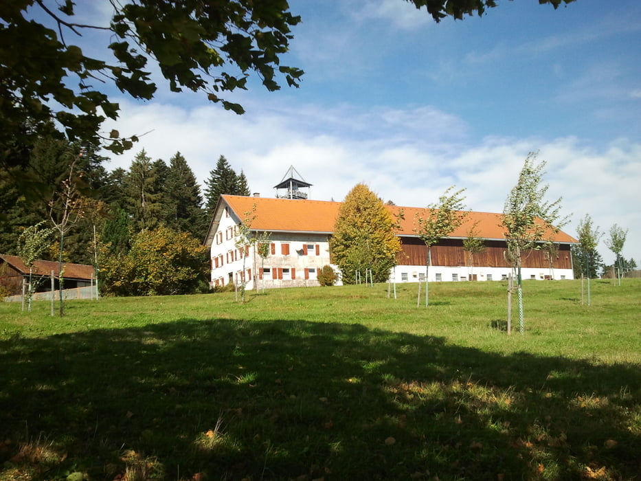
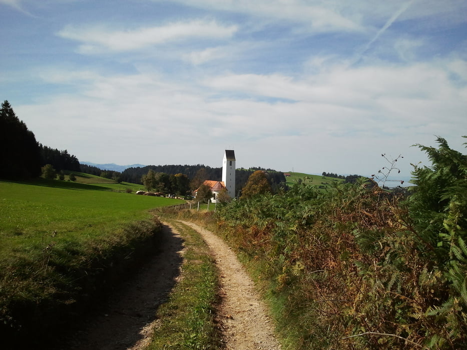
Vom Parkplatz direkt über die Brücke bergauf in Richtung Skyline-Park durch Möggers in Richtung Pfänderhöhenweg. Entlang des Käsewanderwegs bis zum Fesslerhof. Eigener Wurst- und Käseverkauf mit Bewirtschaftung. Weiter geht's bergab mit herrlichem Blick über den Bodensee. Nächste Einkehrmöglichkeit im Riedstüble. Weiter vorbei an einer Kneippanlage zurück zum Ausgangspunkt.
Galerie du tour
Carte du tour et altitude
Minimum height 812 m
Maximum height 1075 m
Commentaires

Tracks GPS
Trackpoints-
GPX / Garmin Map Source (gpx) download
-
TCX / Garmin Training Center® (tcx) download
-
CRS / Garmin Training Center® (crs) download
-
Google Earth (kml) download
-
G7ToWin (g7t) download
-
TTQV (trk) download
-
Overlay (ovl) download
-
Fugawi (txt) download
-
Kompass (DAV) Track (tk) download
-
Feuille de tours (pdf) download
-
Original file of the author (gpx) download
Add to my favorites
Remove from my favorites
Edit tags
Open track
My score
Rate


