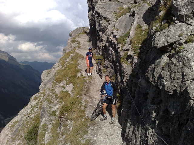
Lech-Oberlech-Au-Schönebach-Sbratsgfäll-Obersdorf-Schrofenpass-Lechleiten-Warth-Lech
Carte du tour et altitude
Minimum height 805 m
Maximum height 1783 m
Commentaires
Tracks GPS
Trackpoints-
GPX / Garmin Map Source (gpx) download
-
TCX / Garmin Training Center® (tcx) download
-
CRS / Garmin Training Center® (crs) download
-
Google Earth (kml) download
-
G7ToWin (g7t) download
-
TTQV (trk) download
-
Overlay (ovl) download
-
Fugawi (txt) download
-
Kompass (DAV) Track (tk) download
-
Feuille de tours (pdf) download
-
Original file of the author (gpx) download
Add to my favorites
Remove from my favorites
Edit tags
Open track
My score
Rate


an einem Tag?
Bist du das an einem Tag durchgefahren? Dann höchsten Respekt
an einem Tag
strecke klingt sehr interessant! wie sind die trails so bzw. gibt es viele single trails und wenn ja welche schwierigkeit so? eher leichtere oder heftige? danke vielmals!!!
beste grüße, daniel
schwierigkeit