


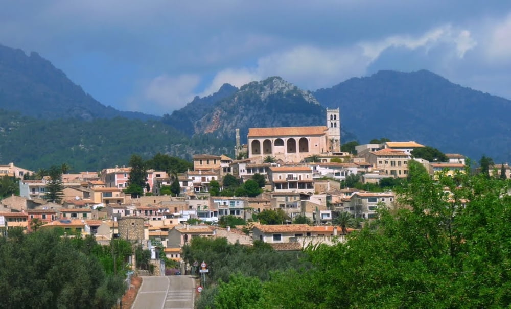
mallorca - selva
ein tour am fusse des puig major - sehr wellig
eine wunderschöne tour auf schmalen straßen, teilweise im hinterland über gut asphaltierte radwege - alle gut mit dem rennrad befahrbar.
von el' arenal richtung norden über cas blanca, meist über schmale straßen nach santa maria, consell, binisalem, lloseta, biniamare, selva nach inca.
eine pause mit einer kleinen stärkung bei antonys sollte eingeplant werden.
nach der rast ca. 2km richtung sineu, dann scharf rechts in den radweg nach santa maria abgebiegen.
in santa maria kann man sich ein wenig zeit nehmen und in einem cafe, welche sich entlang der hauptstraße befinden, einkehren.
zurück führt die strecke über portol, sa cabeneta, casa blanca nach el arenal
Further information at
https://www.google.at/search?q=sencelles+mallorca&hl=de&prmd=imvns&tbm=isch&tbo=u&source=univ&sa=X&ei=_-V6UITZOtHLswbEr4GICw&sqi=2&ved=0CDoQsAQ&biw=1366&bih=622#hl=de&tbm=isch&sa=1&q=selva+mallorca&oq=selva+mallorca&gs_l=img.3..0j0i24l3.138.7078.6.7389.6.Galerie du tour

Carte du tour et altitude
Minimum height 2 m
Maximum height 212 m
More about the tour author
|
|
der_Bergverfuehrer |
Commentaires

start und ziel hotel leman,
auf ein bier oder einen hirbas zu ciro
Tracks GPS
Trackpoints-
GPX / Garmin Map Source (gpx) download
-
TCX / Garmin Training Center® (tcx) download
-
CRS / Garmin Training Center® (crs) download
-
Google Earth (kml) download
-
G7ToWin (g7t) download
-
TTQV (trk) download
-
Overlay (ovl) download
-
Fugawi (txt) download
-
Kompass (DAV) Track (tk) download
-
Feuille de tours (pdf) download
-
Original file of the author (gpx) download
More about the tour author
|
|
der_Bergverfuehrer |
Add to my favorites
Remove from my favorites
Edit tags
Open track
My score
Rate