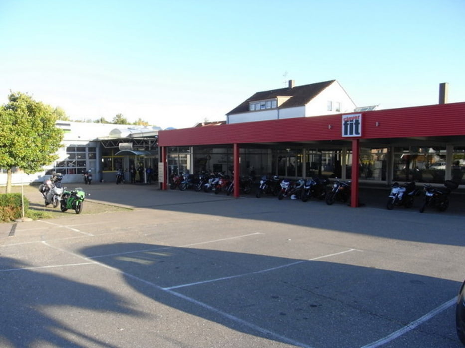
Bei schönem Wetter gestartet, fast nur Nebenstrecken gefahren am ersten Tag. Leider hat das Wetter nich mitgemacht, am Nachmittag gabs Regen. Nächsten Morgen bei Regen auf direktem Weg richtung Heimat
Galerie du tour
Carte du tour et altitude
Minimum height -728 m
Maximum height 549 m
Commentaires

Tracks GPS
Trackpoints-
GPX / Garmin Map Source (gpx) download
-
TCX / Garmin Training Center® (tcx) download
-
CRS / Garmin Training Center® (crs) download
-
Google Earth (kml) download
-
G7ToWin (g7t) download
-
TTQV (trk) download
-
Overlay (ovl) download
-
Fugawi (txt) download
-
Kompass (DAV) Track (tk) download
-
Feuille de tours (pdf) download
-
Original file of the author (gpx) download
Add to my favorites
Remove from my favorites
Edit tags
Open track
My score
Rate


