Login

Login oublié ?

Cookies have to be accepted!
Your browser's cookie functionality is disabled. Please enable this functionality.

Not a member yet?

Register now
Login

Available for registred users only

Log in to use this feature.

Login oublié ?

Cookies have to be accepted!
Your browser's cookie functionality is disabled. Please enable this functionality.

Not a member yet?

Register now
Filter
Catégories
Advanced filters
  • Longueur (km)
  • Altimètre
Enregistrer le filtre Reset filter

TrackRank

QRCode

Technical data

Longueur382,1 km Altimètre10641 m Way down10044 m Durée5 days 0 h Date21.10.2012
Evaluations Author Paysage Aspect amusement Condition Technique

Statistiques

205 Vues Evaluations 39 Téléchargements Moyenne
Rate
  • Feuille de tours
  • Arrivée
  • Téléchargements

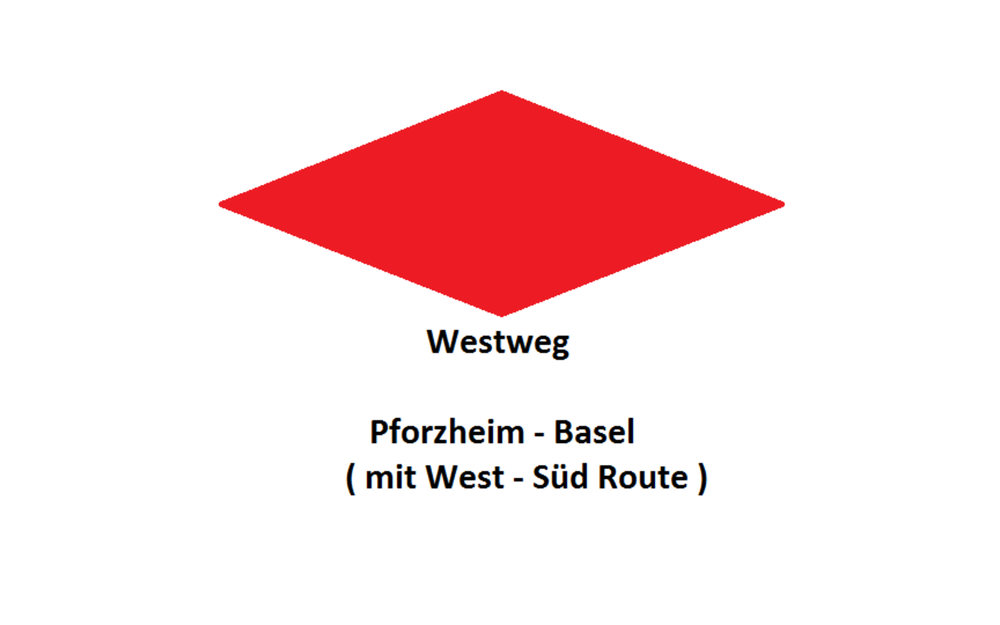
1. Tag:  Pforzheim - Unterstmatt ( Gasthof, zur Großen Tanne )

2.  Tag: Unterstmatt - Wilhelmshöhe ( Gasthof Wilhelmshöhe)

3. Tag: Wilhelmshöhe - Wiedener Eck ( Hotel, Moosgruber)

4. Tag: Wiedener Eck - Schopfheim "Johanneshütte"  (Hotel, im Lus)

5. Tag: Schopfheim - Titisee


ACHTUNG: Am Anfang hatte ich mich verfahren, weil ich mich mit dem Navi noch nicht  beschäftigt hatte. Nach ca. 3 km war ich dann auf dem richtigen Weg...

Carte du tour et altitude

  • Open Street Map
  • Google
Minimum height 237 m Maximum height 1492 m Vue de détail

More about the tour author

SuchdenFlow
Member since 2011

Send private message

Commentaires

Tracks GPS

Trackpoints
  • GPX / Garmin Map Source (gpx) download
  • TCX / Garmin Training Center® (tcx) download
  • CRS / Garmin Training Center® (crs) download
  • Google Earth (kml) download
  • G7ToWin (g7t) download
  • TTQV (trk) download
  • Overlay (ovl) download
  • Fugawi (txt) download
  • Kompass (DAV) Track (tk) download
  • Feuille de tours (pdf) download
  • Original file of the author (gpx) download

More about the tour author

SuchdenFlow
Member since 2011

Send private message
Share track
Add to my favorites
Remove from my favorites
Edit tags
My score
Rate
Tour: Westwärts
Cat.: Mountainbike
Longueur: 382,1 km
Evaluated on:
Durée:
Day(s)
Hour(s)
Minute(s)
Evaluation: Paysage Aspect amusement Condition Technique