


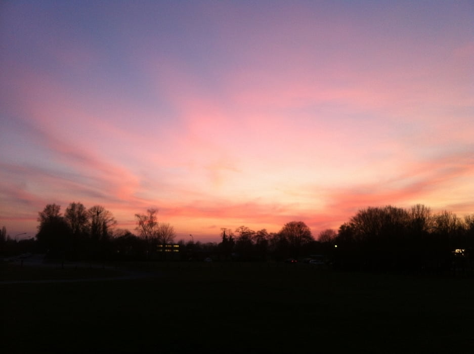
Schöne Runde mit Hund durch Wald und Flur. Die Wege sind auch wenn es viel geregnet hat noch sehr gut zu laufen.
Galerie du tour


Carte du tour et altitude
Minimum height 61 m
Maximum height 80 m
More about the tour author

|
columbos-frauli |
Commentaires

Zufahrt über die Braamer Str., dann links in die Dammstr. und wieder links in die Straße "Nieliesberg", dort am Ende der Straße parken.
Tracks GPS
Trackpoints-
GPX / Garmin Map Source (gpx) download
-
TCX / Garmin Training Center® (tcx) download
-
CRS / Garmin Training Center® (crs) download
-
Google Earth (kml) download
-
G7ToWin (g7t) download
-
TTQV (trk) download
-
Overlay (ovl) download
-
Fugawi (txt) download
-
Kompass (DAV) Track (tk) download
-
Feuille de tours (pdf) download
-
Original file of the author (gpx) download
More about the tour author
|
|
columbos-frauli |
Add to my favorites
Remove from my favorites
Edit tags
Open track
My score
Rate