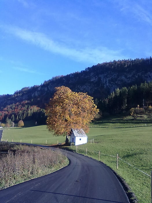
Die Laufrunde beginnt im Naturdorf Sachrang/Grenzhub beim Chalet-Oberbayern.
Direkt über die Grenze nach Tirol geht es zu 90 Prozent über Asphaltwege Richtung Rettenschöss. Von Rettenschöss nach Walchsee und um den See. Der Rückweg führt wieder nach Rettenschöss.
Further information at
http://www.chalet-oberbayern.deGalerie du tour
Carte du tour et altitude
Minimum height 657 m
Maximum height 761 m
Commentaires

Tracks GPS
Trackpoints-
GPX / Garmin Map Source (gpx) download
-
TCX / Garmin Training Center® (tcx) download
-
CRS / Garmin Training Center® (crs) download
-
Google Earth (kml) download
-
G7ToWin (g7t) download
-
TTQV (trk) download
-
Overlay (ovl) download
-
Fugawi (txt) download
-
Kompass (DAV) Track (tk) download
-
Feuille de tours (pdf) download
-
Original file of the author (gpx) download
Add to my favorites
Remove from my favorites
Edit tags
Open track
My score
Rate


