


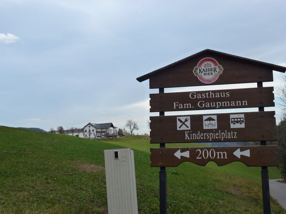
Anfangs geht es hier ziemlich Berg auf. Das brachte mich, als relativ ungeübter, ganz schön ins Schwitzen. Auf 1000m gibt es dann wunderschöne Weiden, die man überquert. Es wir immer wieder auf Stierweideplätze aufmerksam gemacht!! Also vorsicht. 2 Drittel des Weges hielt ich mich an die Wegmarkierungen. Im letzten Drittel fand ich einen Weg ins Tal, der zwar um einiges kürzer, dafür viel steiler war, als die Strasse (nach dem Gasthaus).
Galerie du tour
Carte du tour et altitude
Minimum height 453 m
Maximum height 1065 m
More about the tour author

|
gt-conny |
Commentaires

Über Hainfeld Richtung Kleinzell
Tracks GPS
Trackpoints-
GPX / Garmin Map Source (gpx) download
-
TCX / Garmin Training Center® (tcx) download
-
CRS / Garmin Training Center® (crs) download
-
Google Earth (kml) download
-
G7ToWin (g7t) download
-
TTQV (trk) download
-
Overlay (ovl) download
-
Fugawi (txt) download
-
Kompass (DAV) Track (tk) download
-
Feuille de tours (pdf) download
-
Original file of the author (gpx) download
More about the tour author
|
|
gt-conny |
Add to my favorites
Remove from my favorites
Edit tags
Open track
My score
Rate