
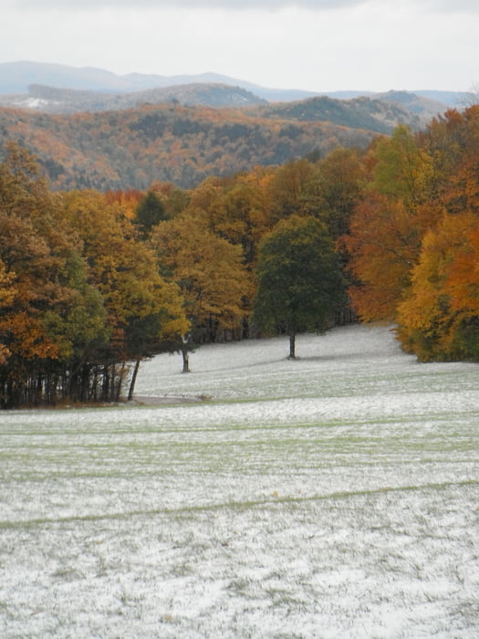

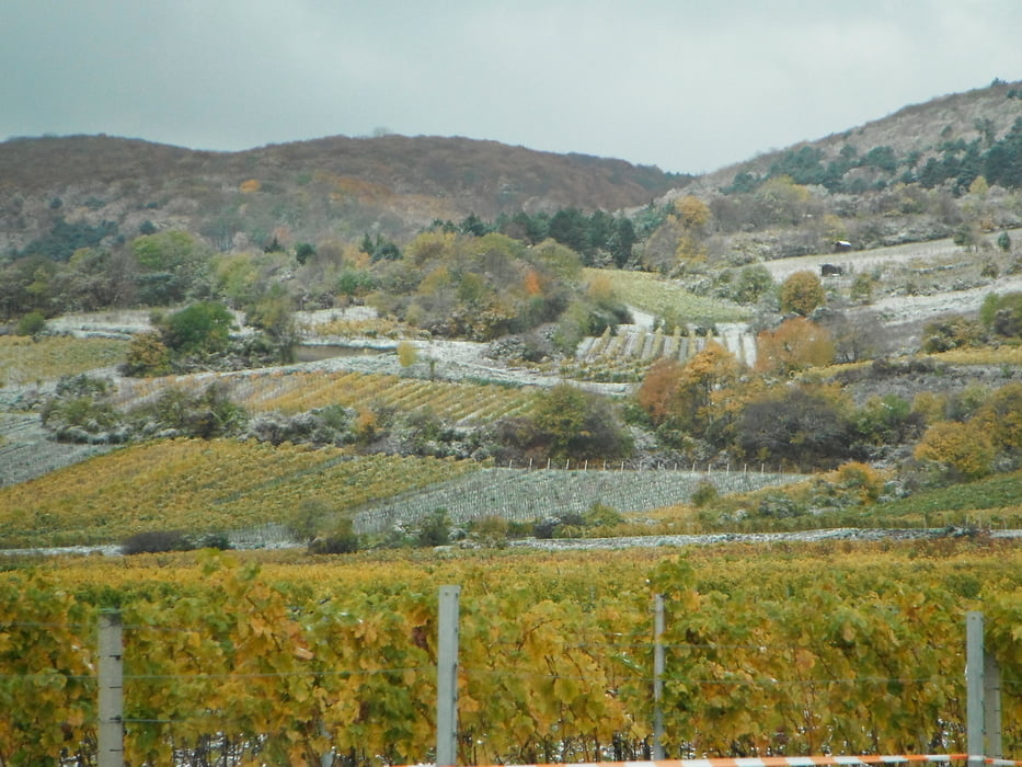
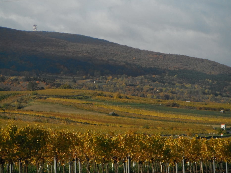
Runde über zwei der schönsten MtB Gipfel im Wienerwald - Anninger & Hoher Lindkogel. Ausganspunkt und Ziel ist das Weingut Thallern (sehr empfehlenswert um nach der Tour gut und ausgiebig zu essen). Lange aber sehr lohnende Tour vorbei an Heiligenkreuz und Mayerling nach Baden. Nach der Überquerung des Hohen Lindkogels geht es dann zum Schluß gemütlich durch die Weinberge wieder retour nach Thallern. Hoher Anteil an Single-trails, vor allem in der zweiten Hälfte der Tour. Viel Spass!
Galerie du tour


Carte du tour et altitude
Minimum height 212 m
Maximum height 845 m
More about the tour author
|
|
keywan |
Commentaires

Tracks GPS
Trackpoints-
GPX / Garmin Map Source (gpx) download
-
TCX / Garmin Training Center® (tcx) download
-
CRS / Garmin Training Center® (crs) download
-
Google Earth (kml) download
-
G7ToWin (g7t) download
-
TTQV (trk) download
-
Overlay (ovl) download
-
Fugawi (txt) download
-
Kompass (DAV) Track (tk) download
-
Feuille de tours (pdf) download
-
Original file of the author (gpx) download
More about the tour author
|
|
keywan |
Add to my favorites
Remove from my favorites
Edit tags
Open track
My score
Rate