Login

Login oublié ?

Cookies have to be accepted!
Your browser's cookie functionality is disabled. Please enable this functionality.

Not a member yet?

Register now
Login

Available for registred users only

Log in to use this feature.

Login oublié ?

Cookies have to be accepted!
Your browser's cookie functionality is disabled. Please enable this functionality.

Not a member yet?

Register now
Filter
Catégories
Advanced filters
  • Longueur (km)
  • Altimètre
Enregistrer le filtre Reset filter

TrackRank

QRCode

Technical data

Longueur8,9 km Altimètre514 m Way down473 m Durée02:20 h:m Date18.11.2012
Evaluations Author Paysage Aspect amusement Condition Technique

Statistiques

165 Vues Evaluations 6 Téléchargements Moyenne
Rate
  • Feuille de tours
  • Arrivée
  • Téléchargements


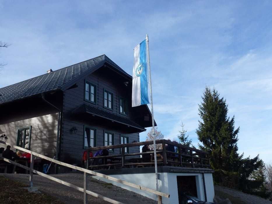
Eine schöne Tour über die Hainfelder Hütte. Diese war allerdings am Sonntag sehr überfüllt.

Ganzjährig Sa,So und Feiertag geöffnet

Further information at

http://www.hainfelderhuette.at/Hainfelder_Huette/Willkommen.html

Galerie du tour

Carte du tour et altitude

  • Open Street Map
  • Google
Minimum height 414 m Maximum height 928 m Vue de détail

More about the tour author

gt-conny
Member since 2012

Send private message

Commentaires

Tracks GPS

Trackpoints
  • GPX / Garmin Map Source (gpx) download
  • TCX / Garmin Training Center® (tcx) download
  • CRS / Garmin Training Center® (crs) download
  • Google Earth (kml) download
  • G7ToWin (g7t) download
  • TTQV (trk) download
  • Overlay (ovl) download
  • Fugawi (txt) download
  • Kompass (DAV) Track (tk) download
  • Feuille de tours (pdf) download
  • Original file of the author (gpx) download

More about the tour author

gt-conny
Member since 2012

Send private message
Share track
Add to my favorites
Remove from my favorites
Edit tags
My score
Rate
Tour: Von Hainfeld nach Salzerbad
Cat.: Randonnées
Longueur: 8,9 km
Evaluated on:
Durée:
Day(s)
Hour(s)
Minute(s)
Evaluation: Paysage Aspect amusement Condition Technique