Wegen Brückenbauarbeiten in Bockum-Hövel an der Adolf-Brühl-Kampfbahn kleine Umleitung (Stand: November 2012)
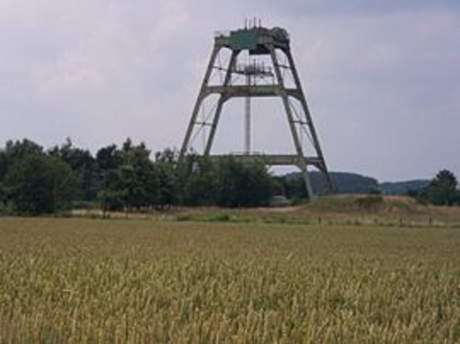
Zwischen Bockum-Hövel und Mersch sieht man linker Hand ein Fördergerüst. Es handelt sich hierbei um das Teufgerüst Feld Donar.
Siehe hierzu Wikipedia „Bergbauprojekt Donar“:
http://de.wikipedia.org/wiki/Bergbauprojekt_Donar
Carte du tour et altitude
Minimum height 38 m
Maximum height 83 m
Commentaires

Tracks GPS
Trackpoints-
GPX / Garmin Map Source (gpx) download
-
TCX / Garmin Training Center® (tcx) download
-
CRS / Garmin Training Center® (crs) download
-
Google Earth (kml) download
-
G7ToWin (g7t) download
-
TTQV (trk) download
-
Overlay (ovl) download
-
Fugawi (txt) download
-
Kompass (DAV) Track (tk) download
-
Feuille de tours (pdf) download
-
Original file of the author (gpx) download
Add to my favorites
Remove from my favorites
Edit tags
Open track
My score
Rate

