

Wir starten in Baldingen, fahren auf Landwirtschaftswegen zu Unterhölzer-Wald, von dort über Neudingen, Fürstenberg und hoch zur Ruine. Von der Ruine geht es Richtung Nordwesten in einen kaum zu sehenden kleinen Single-Trail, Achtung: bei der ersten Gabelung rechts halten.Weiter fahren wir über ein Wiesenweg zum Gasthaus Bären auf dem Schächer. Auf der Asphaltstraße fahren wir bis zu Windrad und weiter über die Wendthütte nach Gutmadingen. Die Bundestraße unterqueren und links den steilen (ca. 20%) Asphaltweg zum Wartenberg, und wieder zurück durch den Unterhölzer-Wald.
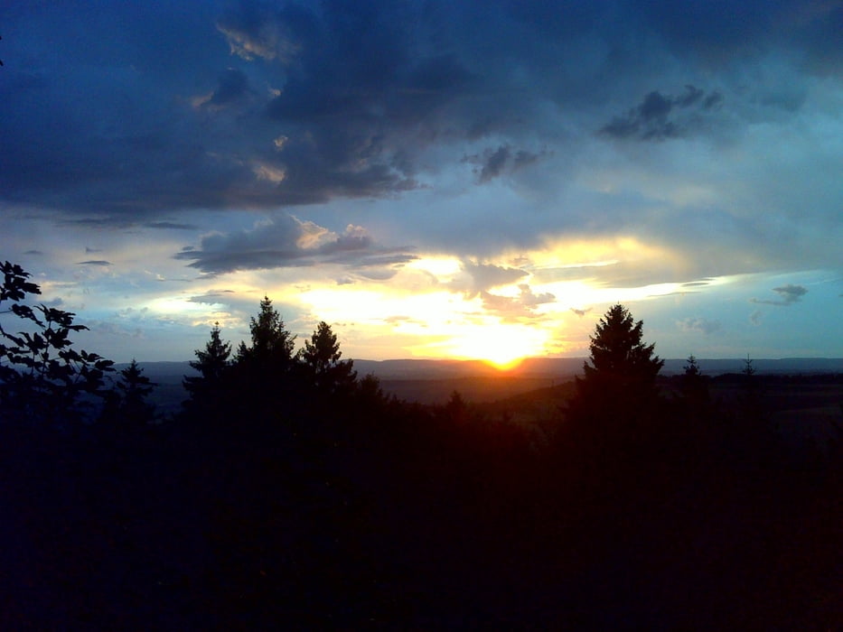
Galerie du tour

Carte du tour et altitude
Minimum height 660 m
Maximum height 929 m
More about the tour author
|
|
jwenzler |
Commentaires

Oberbaldingen liegt zwischen Bad Dürrheim und Geisingen.
Tracks GPS
Trackpoints-
GPX / Garmin Map Source (gpx) download
-
TCX / Garmin Training Center® (tcx) download
-
CRS / Garmin Training Center® (crs) download
-
Google Earth (kml) download
-
G7ToWin (g7t) download
-
TTQV (trk) download
-
Overlay (ovl) download
-
Fugawi (txt) download
-
Kompass (DAV) Track (tk) download
-
Feuille de tours (pdf) download
-
Original file of the author (gpx) download
More about the tour author
|
|
jwenzler |
Add to my favorites
Remove from my favorites
Edit tags
Open track
My score
Rate