Login

Login oublié ?

Cookies have to be accepted!
Your browser's cookie functionality is disabled. Please enable this functionality.

Not a member yet?

Register now
Login

Available for registred users only

Log in to use this feature.

Login oublié ?

Cookies have to be accepted!
Your browser's cookie functionality is disabled. Please enable this functionality.

Not a member yet?

Register now
Filter
Catégories
Advanced filters
  • Longueur (km)
  • Altimètre
Enregistrer le filtre Reset filter

TrackRank

QRCode

Technical data

Longueur20,6 km Altimètre490 m Way down472 m Durée01:50 h:m Date06.12.2012
Evaluations Author Paysage Aspect amusement Condition Technique

Statistiques

206 Vues Evaluations 31 Téléchargements Moyenne
Rate
  • Feuille de tours
  • Arrivée
  • Téléchargements

Kurz aber knackig .....

Von Baldingen über die Blatthalde nach Öfingen, weiter Richtung Himmelberg (Motocross-Strecke von Ippingen) dann einen üblen Steilen Anstieg auf den Himmelberg (chilliger geht es wenn man sich rechts hält und dann eine Linksschleife fährt) den steilen Trail vom Himmelberg runter nach Öfingen über das Fereindorf (funabfahrt durchs F-Dorf, auf Fußgänger achten). Durchs Förle zurück nach O-Baldingen
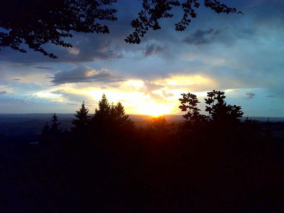
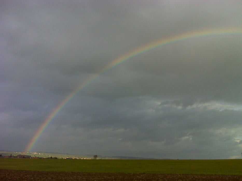
Galerie du tour

Carte du tour et altitude

  • Open Street Map
  • Google
Minimum height 680 m Maximum height 947 m Vue de détail

More about the tour author

jwenzler
Member since 2012

Send private message

Commentaires

Tracks GPS

Trackpoints
  • GPX / Garmin Map Source (gpx) download
  • TCX / Garmin Training Center® (tcx) download
  • CRS / Garmin Training Center® (crs) download
  • Google Earth (kml) download
  • G7ToWin (g7t) download
  • TTQV (trk) download
  • Overlay (ovl) download
  • Fugawi (txt) download
  • Kompass (DAV) Track (tk) download
  • Feuille de tours (pdf) download
  • Original file of the author (gpx) download

More about the tour author

jwenzler
Member since 2012

Send private message
Share track
Add to my favorites
Remove from my favorites
Edit tags
My score
Rate
Tour: Kurz aber knackig
Cat.: Mountainbike
Longueur: 20,6 km
Evaluated on:
Durée:
Day(s)
Hour(s)
Minute(s)
Evaluation: Paysage Aspect amusement Condition Technique