


2011 wurde der Loipenverlauf in Deuchelried geändert. Der Start liegt jetzt am Steibisberger Weg. In Zurwies bei der Käserei kann man auch in die Spur einsteigen.
Neu ist der Start in Oflings, den wir bevorzugen.
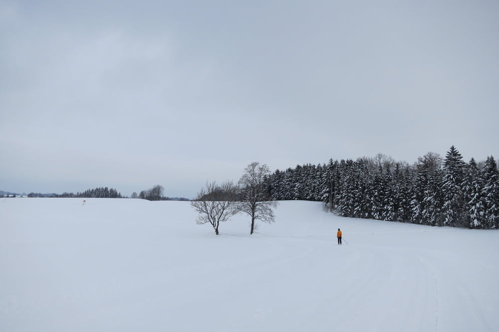
Die hügelige 11,6 km lange Loipe ist im klassischem und Skatingstil gespurt. Eine kürzere Variante von 4 bis 6 km ist auch möglich.
Anbindung zum Skiwanderweg Ratzenried - Isny
Alter Loipenverlauf http://www.gps-tour.info/de/touren/detail.51394.html
Further information at
http://www.schwaebische.de/region/allgaeu/wangen/stadtnachrichten-wangen_artikel,-Pistenbullys-machen-dieLoipen-frei-fuer-Langlauffans-_arid,5358520.htmlGalerie du tour
Carte du tour et altitude
Minimum height 460 m
Maximum height 573 m
More about the tour author
|
|
W-C |
Commentaires

Von Wangen kommend auf der B18 Richtung Leutkirch, kleine Ortschaft "Oflings". Rechts liegt ein kleiner Parkplatz neben der Bushaltestelle oder auf der anderen Straßenseite beim Gasthof Rössle.
Parkplatz - Koordinaten in Oflings N 47° 42. 385´ E 9° 50. 974´
Parkplatz - Koordinaten in Deuchelried (beim Gasthaus Hirsch) N 47° 41. 575´ E 9° 51. 217´
Parkplatz - Koordinaten in Zurwies N 47° 42. 145´ E 9° 51. 955´
Tracks GPS
Trackpoints-
GPX / Garmin Map Source (gpx) download
-
TCX / Garmin Training Center® (tcx) download
-
CRS / Garmin Training Center® (crs) download
-
Google Earth (kml) download
-
G7ToWin (g7t) download
-
TTQV (trk) download
-
Overlay (ovl) download
-
Fugawi (txt) download
-
Kompass (DAV) Track (tk) download
-
Feuille de tours (pdf) download
-
Original file of the author (gpx) download
More about the tour author
|
|
W-C |
Add to my favorites
Remove from my favorites
Edit tags
Open track
My score
Rate