


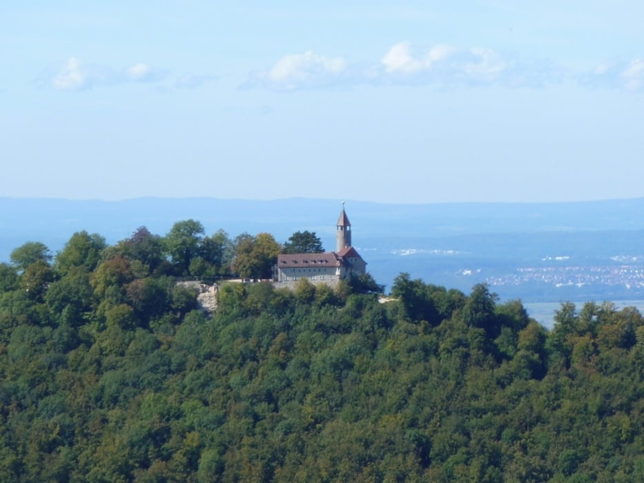
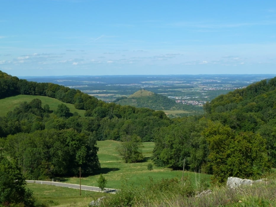
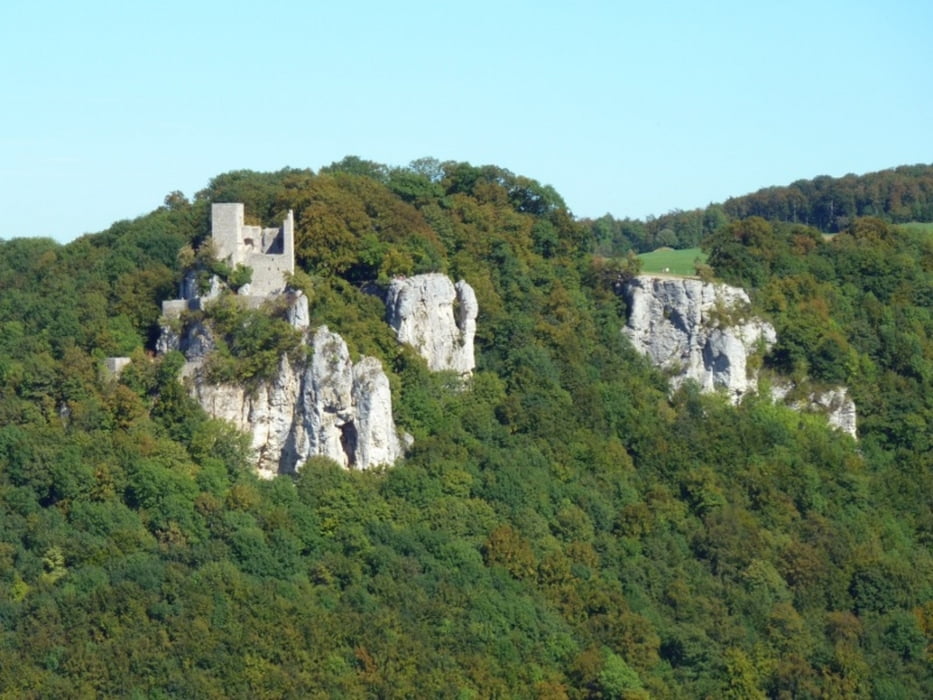
Die Tour führt von Schopfloch durch Felder zur Torfgrube, dem einzigen größeren Hochmoor der Schwäbischen Alb. Von dort geht es weiter über Ochsenwang zum Breitenstein, wo man einen phantastischen Ausblick über das Voralbland hat. Weiter geht es dann vorbei am Randecker Maar, einem ehemaligen Vulkankrater, und durch den Wald (mit einigen Aussichtsstellen zur gegenüberliegenden Ruine Reußenstein) zum sog. Bahnhöfle. Von dort geht es durch Wiesen wieder zurück nach Schopfloch.
Einkehrmöglichkeiten gibt es in Schopfloch, in Ochsenwang, bei der Torfgrube im Otto-Hoffmeister-Haus und am Randecker Maar in der Vesperstube Maarstube (nur am Wochenende).
Einkehrmöglichkeiten gibt es in Schopfloch, in Ochsenwang, bei der Torfgrube im Otto-Hoffmeister-Haus und am Randecker Maar in der Vesperstube Maarstube (nur am Wochenende).
Galerie du tour
Carte du tour et altitude
Minimum height 713 m
Maximum height 806 m
More about the tour author

|
ralley66 |
Commentaires

Anfahrt mit dem Bus Linie 176 bzw. 1771 von Kirchheim (Teck) oder Oberlenningen. Infos dazu auf www.vvs.de.
Tracks GPS
Trackpoints-
GPX / Garmin Map Source (gpx) download
-
TCX / Garmin Training Center® (tcx) download
-
CRS / Garmin Training Center® (crs) download
-
Google Earth (kml) download
-
G7ToWin (g7t) download
-
TTQV (trk) download
-
Overlay (ovl) download
-
Fugawi (txt) download
-
Kompass (DAV) Track (tk) download
-
Feuille de tours (pdf) download
-
Original file of the author (gpx) download
More about the tour author
|
|
ralley66 |
Add to my favorites
Remove from my favorites
Edit tags
Open track
My score
Rate