Login

Login oublié ?

Cookies have to be accepted!
Your browser's cookie functionality is disabled. Please enable this functionality.

Not a member yet?

Register now
Login

Available for registred users only

Log in to use this feature.

Login oublié ?

Cookies have to be accepted!
Your browser's cookie functionality is disabled. Please enable this functionality.

Not a member yet?

Register now
Filter
Catégories
Advanced filters
  • Longueur (km)
  • Altimètre
Enregistrer le filtre Reset filter

TrackRank

QRCode

Technical data

Longueur31,3 km Altimètre748 m Way down810 m Durée02:03 h:m Date15.12.2012
Evaluations Author Paysage Aspect amusement Condition Technique

Statistiques

250 Vues Evaluations 26 Téléchargements Moyenne
Rate
  • Feuille de tours
  • Arrivée
  • Téléchargements

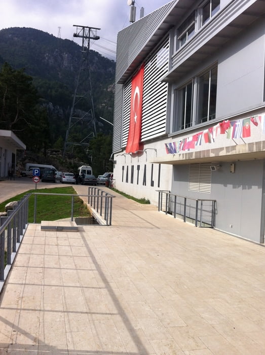
Von Tekirova Richtung Phaselis und dann von der Hauptstraße Richtung Seilbahn (Traffic)

Lockeres Ründchen mit am Ende ordentlicher,ca. 1,5km langen Steigung.Schöner Ausblick und

evtl. bei gutem Wetter die Möglichkeit, mit der Seilbahn auf den Tahtali zu fahren.

Galerie du tour

Carte du tour et altitude

  • Open Street Map
  • Google
Minimum height -37 m Maximum height 683 m Vue de détail

More about the tour author

putzer0509
Member since 2010

Send private message

Commentaires

Tracks GPS

Trackpoints
  • GPX / Garmin Map Source (gpx) download
  • TCX / Garmin Training Center® (tcx) download
  • CRS / Garmin Training Center® (crs) download
  • Google Earth (kml) download
  • G7ToWin (g7t) download
  • TTQV (trk) download
  • Overlay (ovl) download
  • Fugawi (txt) download
  • Kompass (DAV) Track (tk) download
  • Feuille de tours (pdf) download
  • Original file of the author (tcx) download

More about the tour author

putzer0509
Member since 2010

Send private message
Share track
Add to my favorites
Remove from my favorites
Edit tags
My score
Rate
Tour: Tahtali Talstation
Cat.: Mountainbike
Longueur: 31,3 km
Evaluated on:
Durée:
Day(s)
Hour(s)
Minute(s)
Evaluation: Paysage Aspect amusement Condition Technique