
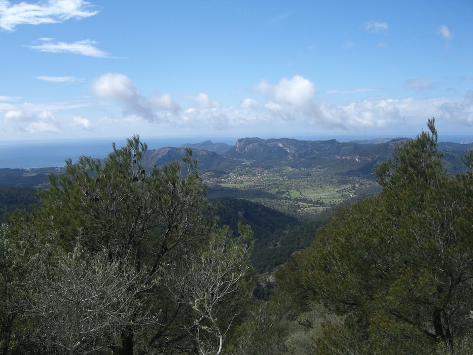

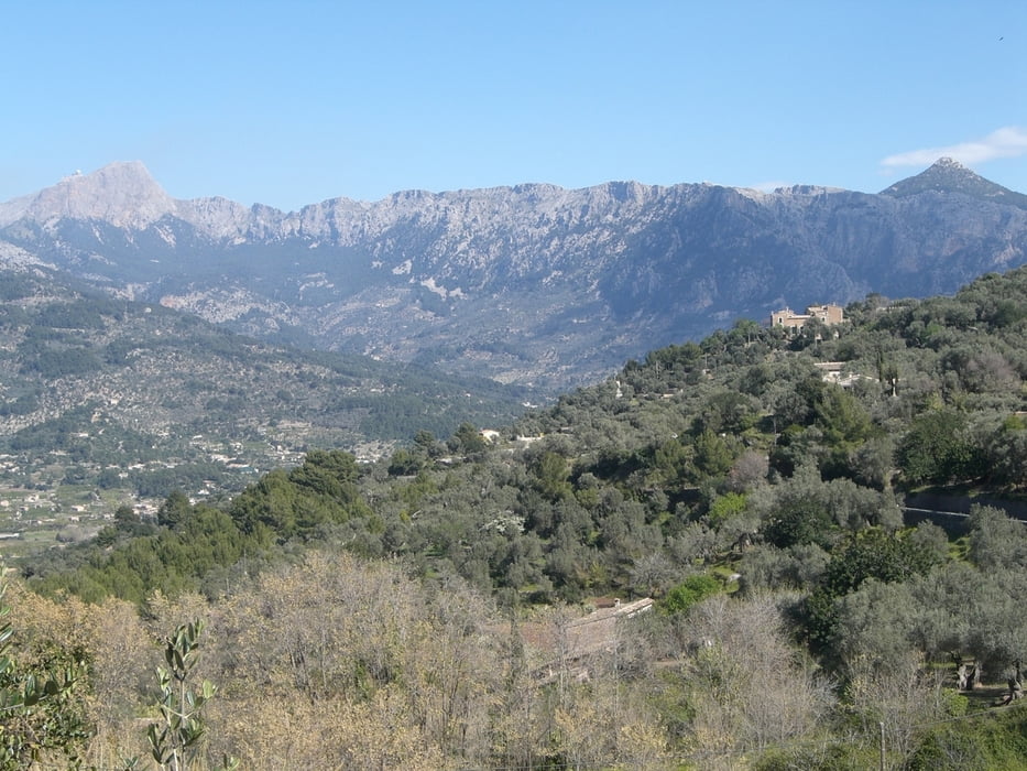
Abwechslungsreiche Wanderung mit schönen Ausblicken. Vom Startpunkt geht man Richtung Alaro ca. 300m der Sraße entlang. Hier zweigt rechts ein Karrenweg ab, der weiter an ein verschlossenes Eisentor führt, das überwunden werden muss. In Alaro am Marktplatz findet man eine Bäckerei und Bars. Später kann man von der Route einen Abstecher machen, um im Landgasthof (Es Verger) ein deftiges Mahl zu sich zu nehmen. Wer es aber eher einfach mag, findet auf dem Festungsberg eine Refugi mit herlichem Ausblick.
Galerie du tour
Carte du tour et altitude
Minimum height 207 m
Maximum height 808 m
More about the tour author
|
|
Tomate87 |
Commentaires

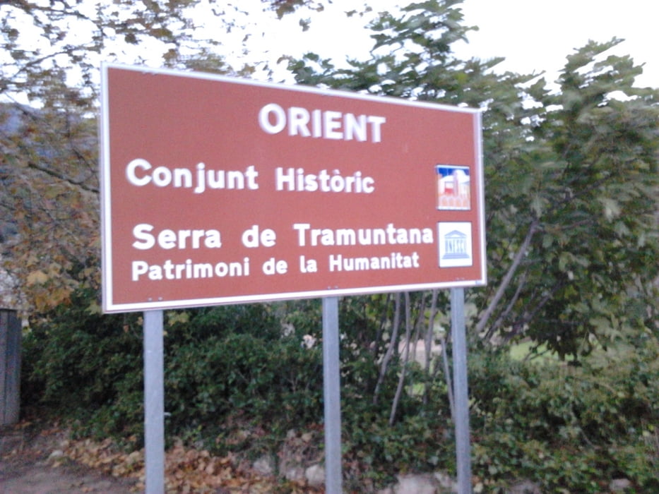
Am Ortsausgang in Orient in Richtung Alaro kann man an einer Bushaltestelle das Auto parken.
Tracks GPS
Trackpoints-
GPX / Garmin Map Source (gpx) download
-
TCX / Garmin Training Center® (tcx) download
-
CRS / Garmin Training Center® (crs) download
-
Google Earth (kml) download
-
G7ToWin (g7t) download
-
TTQV (trk) download
-
Overlay (ovl) download
-
Fugawi (txt) download
-
Kompass (DAV) Track (tk) download
-
Feuille de tours (pdf) download
-
Original file of the author (gpx) download
More about the tour author
|
|
Tomate87 |
Add to my favorites
Remove from my favorites
Edit tags
Open track
My score
Rate