
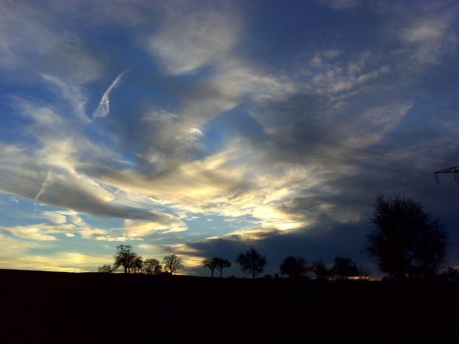

Relativ flach gehaltene Tour entlang von Feldwegen. Sehr gute Freiwildbeobachtung (10 x Rotwild am Tag unsrer Tour). Weg führt an einem Gehöft mit Bioladen vorbei. Später an einem Landcafe. Dieses hatte heute (Samstag) zu. Sieht nett aus. Wenn Sonne (wie heute) wunderschöner Panoramablick über die Gegend.
Carte du tour et altitude
Minimum height 230 m
Maximum height 284 m
More about the tour author
|
|
Uwe-13 |
Commentaires

Z.B. Ausfahrt A8 aus Richtung Karlsruhe kommend, Abfahrt "Karlsbad" nehmen und Richtung Supferich fahren. Vor Ortseingangsschild z.B. links in einer Feldwegeinfahrt parken.
Tracks GPS
Trackpoints-
GPX / Garmin Map Source (gpx) download
-
TCX / Garmin Training Center® (tcx) download
-
CRS / Garmin Training Center® (crs) download
-
Google Earth (kml) download
-
G7ToWin (g7t) download
-
TTQV (trk) download
-
Overlay (ovl) download
-
Fugawi (txt) download
-
Kompass (DAV) Track (tk) download
-
Feuille de tours (pdf) download
-
Original file of the author (gpx) download
More about the tour author
|
|
Uwe-13 |
Add to my favorites
Remove from my favorites
Edit tags
Open track
My score
Rate