


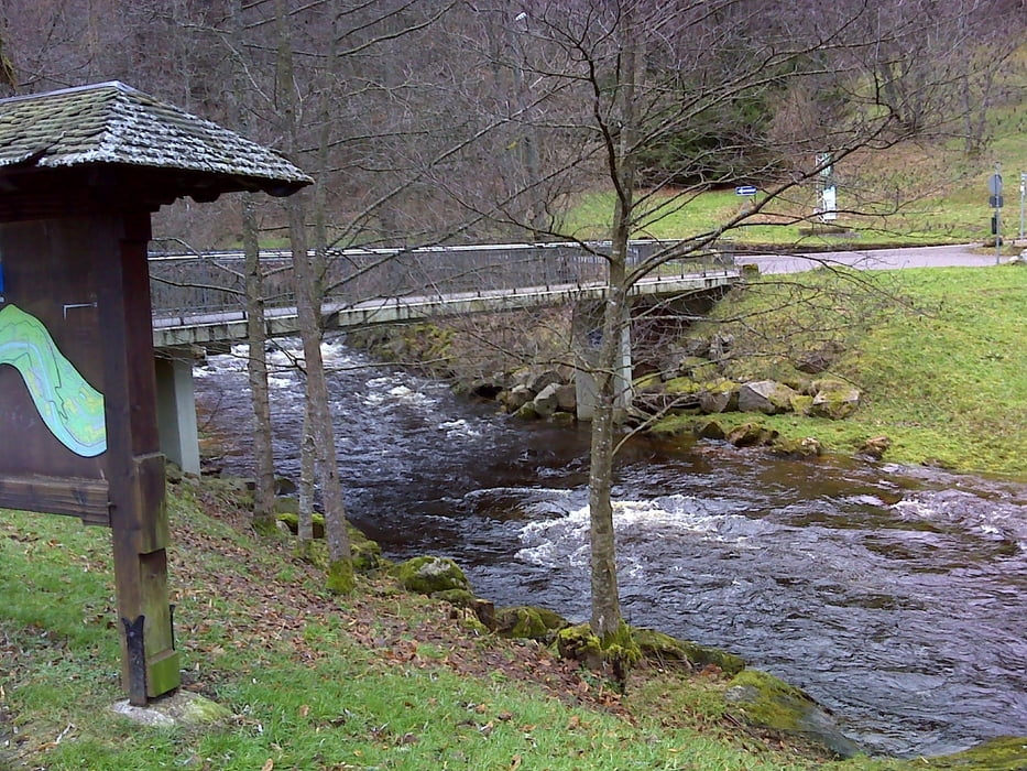
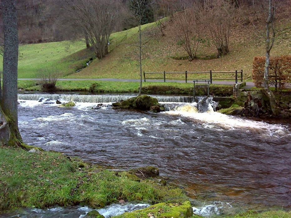
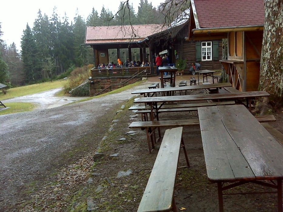
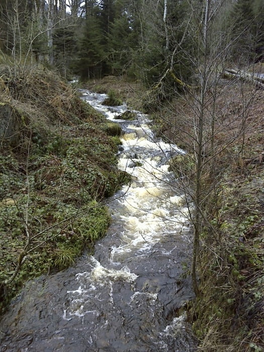
Die Tour beginnt am Parkplatz vor der BFT-Tankstelle am Ortseingang. Durch den Ort gelangen wir zur neuen Bergbahn (Einfache Fahrt: Erwachsene Euro 3,50, Kinder Euro 2,50). Wunderschöne Panoramafahrt! Oben angekommen geht es los in Richtung Grünhütte. Diese ist bewirtschaftet und für eine gute Wandermahlzeit bekannt. Unterwegs queren wir einen Ski-Hang mit Liftanlage sowie einen Mounten-Bike Parcour. Der Weg ist gut und bequem begehbar. Auf dem 2.Teil des Weges (nach der Grünhütte) asphaltiert. Er führt gegen Ende durch den Kurpark. Ich laufe die Tour seit Jahren immer mal wieder. Zu jeder Jahreszeit. Es ist mein persönlicher Tip. Landschaftlich sehr schön.
Galerie du tour
Carte du tour et altitude
Minimum height 272 m
Maximum height 843 m
More about the tour author
|
|
Uwe-13 |
Commentaires

Kostenloser Parkplatz an der BFT-Tankstelle am Ortseingang Bad Wildbad.
Tracks GPS
Trackpoints-
GPX / Garmin Map Source (gpx) download
-
TCX / Garmin Training Center® (tcx) download
-
CRS / Garmin Training Center® (crs) download
-
Google Earth (kml) download
-
G7ToWin (g7t) download
-
TTQV (trk) download
-
Overlay (ovl) download
-
Fugawi (txt) download
-
Kompass (DAV) Track (tk) download
-
Feuille de tours (pdf) download
-
Original file of the author (gpx) download
More about the tour author
|
|
Uwe-13 |
Add to my favorites
Remove from my favorites
Edit tags
Open track
My score
Rate