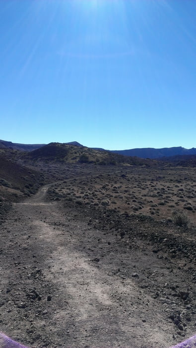
aan de voet van de Tide een trail van circa 17 km
Further information at
http://www.youtube.com/watch?feature=player_detailpage&v=vR-Fvx2dZK0Galerie du tour
Carte du tour et altitude
Minimum height 2042 m
Maximum height 2227 m
Commentaires

Starten vanaf de doorgaande autoweg. Lopen van Noord naar Zuid. Het mooiste en zwaarste deel van de route zit dan in het laatste gedeelte.
Tracks GPS
Trackpoints-
GPX / Garmin Map Source (gpx) download
-
TCX / Garmin Training Center® (tcx) download
-
CRS / Garmin Training Center® (crs) download
-
Google Earth (kml) download
-
G7ToWin (g7t) download
-
TTQV (trk) download
-
Overlay (ovl) download
-
Fugawi (txt) download
-
Kompass (DAV) Track (tk) download
-
Feuille de tours (pdf) download
-
Original file of the author (gpx) download
Add to my favorites
Remove from my favorites
Edit tags
Open track
My score
Rate


