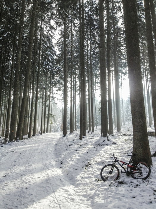
Tolle Strecke vom Seefeld, hoch durchs Werenbach-Tobel nach Zollikerberg auf den Pfannenstiel. Retour gehts dann am Forchdenkmal vorbei zum Lorenchopf und durch das flowige Elefantenbach-Tobel wieder runter ins Seefeld.
Am Scheitelpunkt auf dem Pfannenstiel wird man mit einem tollen Restaurant inkl. herrlicher Aussicht belohnt.
Achtung: im Sommer oder bei schönem Wetter ist die Strecke teilweise ziemlich belebt.
Carte du tour et altitude
Minimum height 419 m
Maximum height 850 m
Commentaires

Ideal sind die Einstiegsorte Höschgasse oder Burgwies.
Tracks GPS
Trackpoints-
GPX / Garmin Map Source (gpx) download
-
TCX / Garmin Training Center® (tcx) download
-
CRS / Garmin Training Center® (crs) download
-
Google Earth (kml) download
-
G7ToWin (g7t) download
-
TTQV (trk) download
-
Overlay (ovl) download
-
Fugawi (txt) download
-
Kompass (DAV) Track (tk) download
-
Feuille de tours (pdf) download
-
Original file of the author (gpx) download
Add to my favorites
Remove from my favorites
Edit tags
Open track
My score
Rate


