Login

Login oublié ?

Cookies have to be accepted!
Your browser's cookie functionality is disabled. Please enable this functionality.

Not a member yet?

Register now
Login

Available for registred users only

Log in to use this feature.

Login oublié ?

Cookies have to be accepted!
Your browser's cookie functionality is disabled. Please enable this functionality.

Not a member yet?

Register now
Filter
Catégories
Advanced filters
  • Longueur (km)
  • Altimètre
Enregistrer le filtre Reset filter

TrackRank

QRCode

Technical data

Longueur7,7 km Altimètre716 m Way down695 m Durée06:00 h:m Date14.01.2013
Evaluations Author Paysage Aspect amusement Condition Technique

Statistiques

1666 Vues Evaluations 223 Téléchargements Moyenne
Rate
  • Feuille de tours
  • Arrivée
  • Téléchargements

Klettersteigrunde über Ferrata Susati, Ferrata Foletti und die beiden verschärften Wanderwege Sent. dei Camminamenti und Sent. delle Laste

maximale Schwierigkeit: B bzw. Kletterpassagen 1-

Start und Ziel in Biacesa

Stirnlampe nicht vergessen, da es durch Tunnel geht

keine Einkehrmöglichkeiten
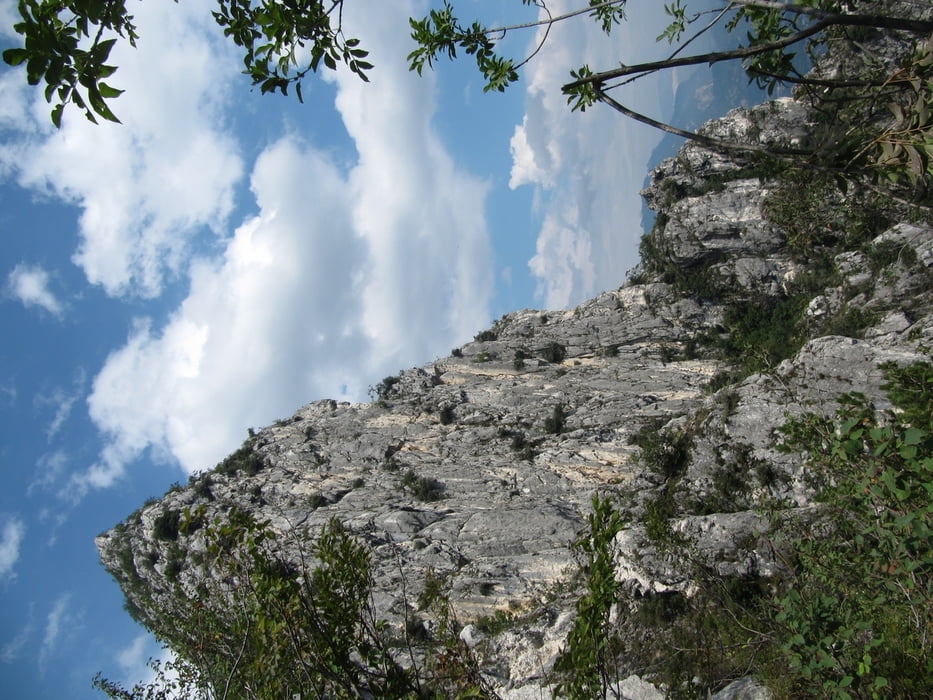
 

Galerie du tour

Carte du tour et altitude

  • Open Street Map
  • Google
Minimum height 416 m Maximum height 1088 m Vue de détail

More about the tour author

schwaran
Member since 2012

Send private message

Commentaires

ChristoHutschel on 03.01.2016

Video zur Tour

Traumhafte Tiefblicke aufs Wasser des Gardasee-Nordufers. Anregende Kletterei über die Schulter auf den kühnen Cima Capi. Nie zu schwierig, ein schöner Gipfel, weitere Klettersteigmöglichkeiten runden die Tagestour ab. http://youtu.be/q5JwyD_JSRE

von Riva durch Tunnel in Richtung Val di Ledro nach Biacese


Tracks GPS

Trackpoints
  • GPX / Garmin Map Source (gpx) download
  • TCX / Garmin Training Center® (tcx) download
  • CRS / Garmin Training Center® (crs) download
  • Google Earth (kml) download
  • G7ToWin (g7t) download
  • TTQV (trk) download
  • Overlay (ovl) download
  • Fugawi (txt) download
  • Kompass (DAV) Track (tk) download
  • Feuille de tours (pdf) download
  • Original file of the author (gpx) download

More about the tour author

schwaran
Member since 2012

Send private message
Share track
Add to my favorites
Remove from my favorites
Edit tags
My score
Rate
Tour: Ferratarunde Cima Rocca
Cat.: Sentier d’escalade
Longueur: 7,7 km
Evaluated on:
Durée:
Day(s)
Hour(s)
Minute(s)
Evaluation: Paysage Aspect amusement Condition Technique