


Leichte Schneeschuhtour in Ridnaun
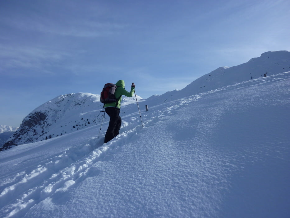
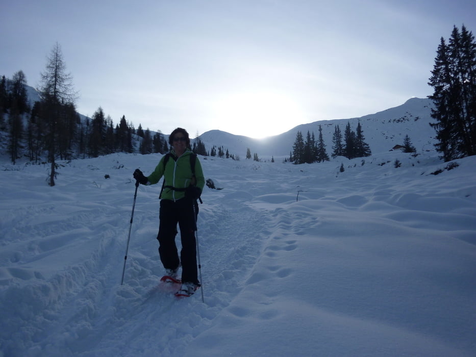
Vom Parkplatz (1400 m) über die Wiese und rx am Skilift hinauf und oberhalb des Lifts nach lx leicht bergab zu einer großen Hofstelle. Jetzt rx vom Bach bergauf dann über eine Brücke und steil durch den Wald empor, bis wir in offenes Gelände kommen und den Gipfel vor uns haben. Die Innere Wurzeralm lassen wir rx liegen und gehen über ein schönes Gelände in südlicher Richtung auf einem Rücken und hinauf zum Gipfel mit Gipfelkreuz (2216 m).
Landkarte: Tabacco Nr. 038
Einkehrmöglichkeit beim Skilift
Further information at
http://www.suedtirolerland.it/de/urlaubsziele-in-suedtirol/eisacktal-wipptal/ratschings/ridnaun/Galerie du tour
Carte du tour et altitude
Minimum height 1344 m
Maximum height 2142 m
More about the tour author
|
|
Califan |
Commentaires

Autobahnausfahrt Sterzing, dann Richtung Ridnaun bis nach Gasse, ein Ortsteil von Entholz. Links sind ein paar Parkplätze, sonst lx hinauf zum Parkplatz des Skilifts.
Tracks GPS
Trackpoints-
GPX / Garmin Map Source (gpx) download
-
TCX / Garmin Training Center® (tcx) download
-
CRS / Garmin Training Center® (crs) download
-
Google Earth (kml) download
-
G7ToWin (g7t) download
-
TTQV (trk) download
-
Overlay (ovl) download
-
Fugawi (txt) download
-
Kompass (DAV) Track (tk) download
-
Feuille de tours (pdf) download
-
Original file of the author (gpx) download
More about the tour author
|
|
Califan |
Add to my favorites
Remove from my favorites
Edit tags
Open track
My score
Rate