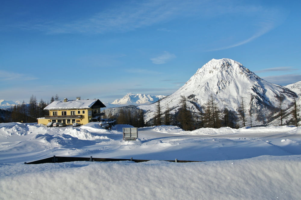
Der 3-5m breite und bestens präparierte Ski- und Winterwanderweg bietet für Wanderer, Schlittenfahrer, Skifahrer, Schneeschuhwanderer und Skitourengeher beste Bedingungen für ein wunderbares Wintererlebnis am Fuße des Dachsteins. Der 6,4 km lange Wanderweg mit der traumhaften Kulisse rund um den Dachstein hat 626 Höhenmeter. Entlang der Wanderung gibt es zahlreiche Einkehrmöglichkeiten.
Weitere Infos und Fotos findest du auf biketours4you.at
Galerie du tour
Carte du tour et altitude
Minimum height 1136 m
Maximum height 1695 m
Commentaires

Tracks GPS
Trackpoints-
GPX / Garmin Map Source (gpx) download
-
TCX / Garmin Training Center® (tcx) download
-
CRS / Garmin Training Center® (crs) download
-
Google Earth (kml) download
-
G7ToWin (g7t) download
-
TTQV (trk) download
-
Overlay (ovl) download
-
Fugawi (txt) download
-
Kompass (DAV) Track (tk) download
-
Feuille de tours (pdf) download
-
Original file of the author (gpx) download
Add to my favorites
Remove from my favorites
Edit tags
Open track
My score
Rate


