


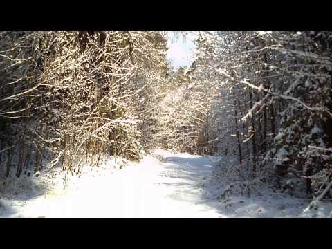
Eine kleine Wanderung mit der großen Ausnahme des Winters 2012/ 2013: Sonne für mehrere Stunden!!
Wir gehen über die Straße und wandern im Hochwald bequem dahin, bald kommt Wegzeichen Blauring. Wenn Blauring uns nach rechts verlässt, gehen wir geadeaus weiter. Eine weitere Abzweigung beachten wir nicht. Dann geht es in scharfer Linkskurve zurück, Später folgen wir Gelbkreuz, bald an der "Gründlach" entlang. Unsere Markierung führt an einer Abzweigung halblinks aufwärts bis zu unserem Herweg. An der Kreuzung rechts zurück zum Parkplatz.
Galerie du tour


Carte du tour et altitude
Minimum height 382 m
Maximum height 435 m
More about the tour author
|
|
heinz-57 |
Commentaires

Von Nürnberg/ Erlangen/ Forchheim kommend nach Kalchreuth, über den Kreisverkehr durch den Ort zum Ortsteil Käswasser und über Großgeschaidt und Kleingeschaidt Richtung Tauchersreuth. Auf der Höhe an der Abzweigung links nach Beerbach Parkmöglichkeit.
Tracks GPS
Trackpoints-
GPX / Garmin Map Source (gpx) download
-
TCX / Garmin Training Center® (tcx) download
-
CRS / Garmin Training Center® (crs) download
-
Google Earth (kml) download
-
G7ToWin (g7t) download
-
TTQV (trk) download
-
Overlay (ovl) download
-
Fugawi (txt) download
-
Kompass (DAV) Track (tk) download
-
Feuille de tours (pdf) download
-
Original file of the author (gpx) download
More about the tour author
|
|
heinz-57 |
Add to my favorites
Remove from my favorites
Edit tags
Open track
My score
Rate