


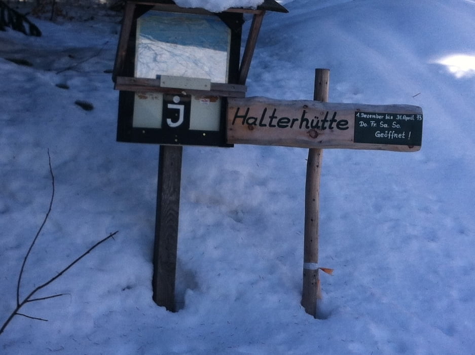
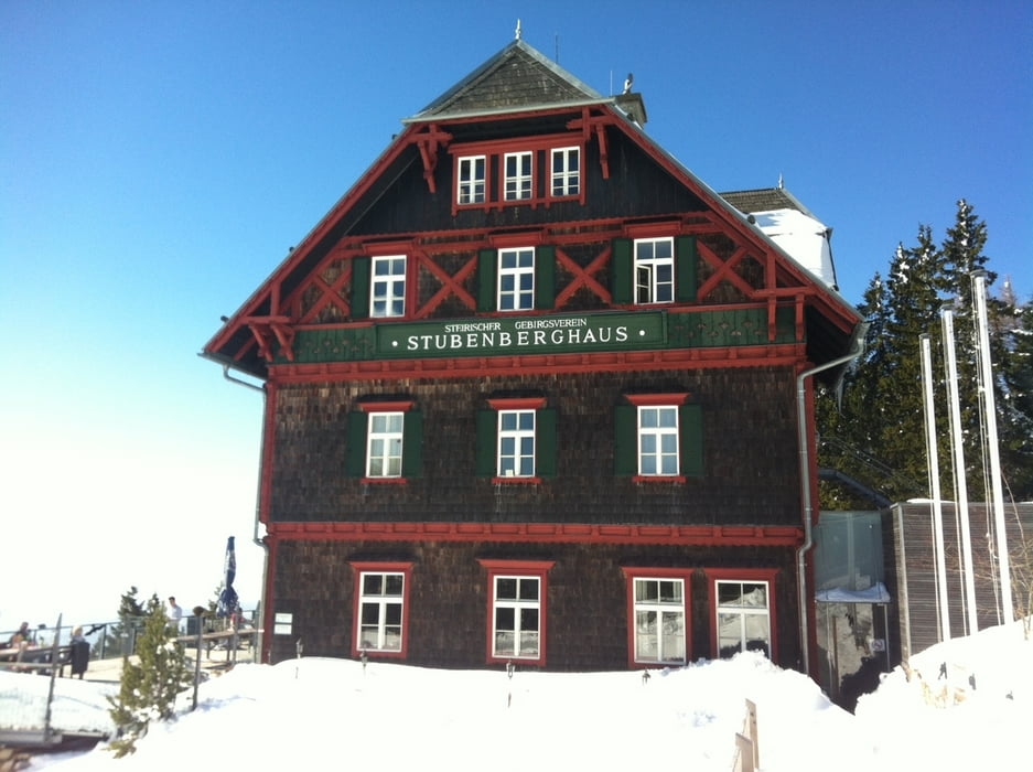
Wandertour der mittleren Beanspruchung von St.Radegund bis zum Schöcklplateau. Für Familien mit guter Kondition geeignet. Festes Schuhwerk empfohlen, ist teilweise recht steinig. Einkehr am Weg ist die Halterhütte kurz vorm Ziel gut geeignet um sich zu stärken.
Für Kniemarotte gibt’s die Seilbahn zum runterfahren wenn sie nicht gerade Revision haben.
Für Kniemarotte gibt’s die Seilbahn zum runterfahren wenn sie nicht gerade Revision haben.
Galerie du tour

Carte du tour et altitude
Minimum height 702 m
Maximum height 1440 m
More about the tour author

|
schalkw |
Commentaires

St.Radegund Gemeindeparkplatz oder Schöcklseilbahn Talstation.
Tracks GPS
Trackpoints-
GPX / Garmin Map Source (gpx) download
-
TCX / Garmin Training Center® (tcx) download
-
CRS / Garmin Training Center® (crs) download
-
Google Earth (kml) download
-
G7ToWin (g7t) download
-
TTQV (trk) download
-
Overlay (ovl) download
-
Fugawi (txt) download
-
Kompass (DAV) Track (tk) download
-
Feuille de tours (pdf) download
-
Original file of the author (gpx) download
More about the tour author
|
|
schalkw |
Add to my favorites
Remove from my favorites
Edit tags
Open track
My score
Rate