
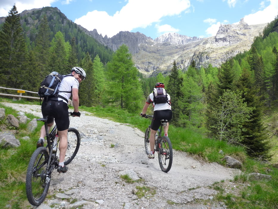

Il percorso di circa 28 km attraversa i territori dei tre comuni della Conca del Tesino: Pieve, Cinte e Castello. L’itinerario parte dal centro storico di Pieve per poi continuare su strada asfaltata verso il Passo La Forcella e raggirare la località “driocastello”; da qui la strada si fa sterrata fino a Cinte Tesino. Dall’abitato ci si dirige verso Pieve Tesino passando a fianco dell’arboreto, per poi continuare sulla strada provinciale per un tratto in direzione Castello Tesino. Difronte al bicigrill si gira a sinistra in direzione località Lissa, si prosegue quindi su strada sterrata che arriva fino al ponte della Val Malene, per poi proseguire sull’altra sponda del torrente Grigno fino al punto di partenza.
Diese Tour umfasst 28km und führt durch die drei Kommunen der Tesino-Mulde: Pieve, Cinte und Castello. Die Strecke beginnt im historischen Zentrum von Pieve und verläuft dann auf asphaltierter Straße bis zum Bergpass La Forcella und zur Lokalität “driocastello”; auf einer Schotterstraße geht es dann bis nach Cinte Tesino. Vom Ort aus fährt man nach Pieve Tesino, vorbei am Arboretum, um dann auf der Provinzstraße in Richtung Castello Tesino zu fahren. Vor dem Bicigrill biegt man in Richtung Lokalität Lissa ab und fährt auf Schotterstraße bis zur Brücke des Tals Val Malene. Auf der anderen Seite des Baches Grigno geht es dann zurück zum Ausgangspunkt.
The 28 km route stretches along the 3 municipalities in Tesino: Pieve, Cinte and Castello. The itinerary starts from the historic center of Pieve Tesino and continues on paved road up to Passo La Forcella; turn around the area “driocastello”; from here the road is unpaved unto Cinte Tesino. From the built-up area ride towards Pieve Tesino, pass along the arboretum and continue on the road in the direction of Castello Tesino. In front of “bicigrill” ride in direction loc. Lissa, then continue on the dirt road that leads to Val Malene bridge; keep biking on the other shore of Torrente Grigno back to the starting point.
Carte du tour et altitude
Minimum height 780 m
Maximum height 1109 m
More about the tour author

|
valsuganaapt |
Commentaires

Tracks GPS
Trackpoints-
GPX / Garmin Map Source (gpx) download
-
TCX / Garmin Training Center® (tcx) download
-
CRS / Garmin Training Center® (crs) download
-
Google Earth (kml) download
-
G7ToWin (g7t) download
-
TTQV (trk) download
-
Overlay (ovl) download
-
Fugawi (txt) download
-
Kompass (DAV) Track (tk) download
-
Feuille de tours (pdf) download
-
Original file of the author (gpx) download
More about the tour author
|
|
valsuganaapt |
Add to my favorites
Remove from my favorites
Edit tags
Open track
My score
Rate