Start und Ziel im Zentrum von Senftenberg
es geht durch die Bahnhofsstraße in Richtung Klinikum, dort biegt man nach rechts ab und entlang der Straße geht es in Richtung Reppist
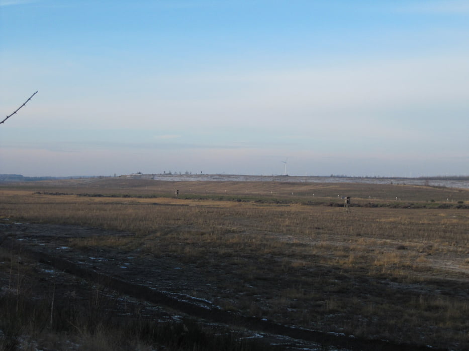
an dem einzelnen Gehöft geht es links ab über den befestigten Weg zur Reppister Höhe
dort hält man sich rechts und weiter bis zum nächsten Aussichtspunkt am Rande des Ilsesees
zurück auf gleichem Weg
Further information at
http://www.lausitzerseenland.deGalerie du tour
Carte du tour et altitude
Minimum height 97 m
Maximum height 130 m
Commentaires

Senftenberg erreicht man über A13 und B169
Tracks GPS
Trackpoints-
GPX / Garmin Map Source (gpx) download
-
TCX / Garmin Training Center® (tcx) download
-
CRS / Garmin Training Center® (crs) download
-
Google Earth (kml) download
-
G7ToWin (g7t) download
-
TTQV (trk) download
-
Overlay (ovl) download
-
Fugawi (txt) download
-
Kompass (DAV) Track (tk) download
-
Feuille de tours (pdf) download
-
Original file of the author (gpx) download
Add to my favorites
Remove from my favorites
Edit tags
Open track
My score
Rate


