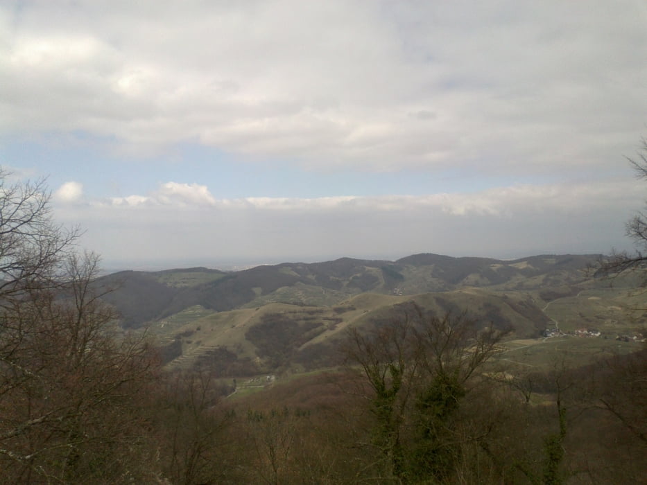
Sehr sehr sehr schöne Aussichten!
Achtung! Ab WP144 - ca 370 M nach dem "Lothar Schneisse" - der Weg geht steil runter auf fast unbemerkbaren Fußweg ca 200-250 Metr.
Further information at
http://goo.gl/maps/6Z8hmGalerie du tour
Carte du tour et altitude
Minimum height 255 m
Maximum height 561 m
Commentaires

Für Navi "Bergstraße 114, 79268 Bötzingen" eingeben, und danach ca 1.2 Km weiter fahren auf dem Parkplatz.
Tracks GPS
Trackpoints-
GPX / Garmin Map Source (gpx) download
-
TCX / Garmin Training Center® (tcx) download
-
CRS / Garmin Training Center® (crs) download
-
Google Earth (kml) download
-
G7ToWin (g7t) download
-
TTQV (trk) download
-
Overlay (ovl) download
-
Fugawi (txt) download
-
Kompass (DAV) Track (tk) download
-
Feuille de tours (pdf) download
-
Original file of the author (gpx) download
Add to my favorites
Remove from my favorites
Edit tags
Open track
My score
Rate


