Login

Login oublié ?

Cookies have to be accepted!
Your browser's cookie functionality is disabled. Please enable this functionality.

Not a member yet?

Register now
Login

Available for registred users only

Log in to use this feature.

Login oublié ?

Cookies have to be accepted!
Your browser's cookie functionality is disabled. Please enable this functionality.

Not a member yet?

Register now
Filter
Catégories
Advanced filters
  • Longueur (km)
  • Altimètre
Enregistrer le filtre Reset filter

TrackRank

QRCode

Technical data

Longueur54,2 km Altimètre663 m Way down664 m Durée03:00 h:m Date11.04.2013
Evaluations Author Paysage Aspect amusement Condition Technique

Statistiques

349 Vues Evaluations 88 Téléchargements Moyenne
Rate
  • Feuille de tours
  • Arrivée
  • Téléchargements

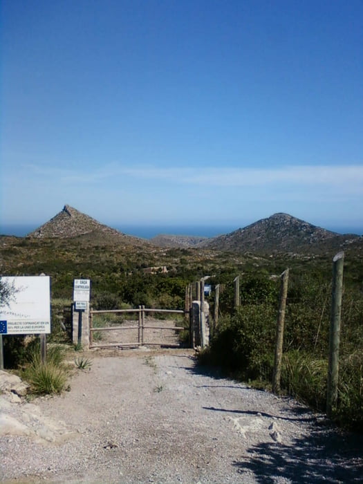
Von Sa Coma auf Nebenstrecken ins Naturschutzgebiet bis Ende der Ausbaustrecke. Der Strand Cala Mitjana und Cala Torta ist mit den Schmalheimern leider nicht zu erreichen (Schotterstrecke).

Rückweg wieder über Nebestrecken  


Galerie du tour

Carte du tour et altitude

  • Open Street Map
  • Google
Minimum height -2 m Maximum height 250 m Vue de détail

More about the tour author

tigris955
Member since 2009

Send private message

Commentaires

Tracks GPS

Trackpoints
  • GPX / Garmin Map Source (gpx) download
  • TCX / Garmin Training Center® (tcx) download
  • CRS / Garmin Training Center® (crs) download
  • Google Earth (kml) download
  • G7ToWin (g7t) download
  • TTQV (trk) download
  • Overlay (ovl) download
  • Fugawi (txt) download
  • Kompass (DAV) Track (tk) download
  • Feuille de tours (pdf) download
  • Original file of the author (gpx) download

More about the tour author

tigris955
Member since 2009

Send private message
Share track
Add to my favorites
Remove from my favorites
Edit tags
My score
Rate
Tour: PMRR2013.03_SaComa-C.Mitjana 62km816hm 001
Cat.: Vélo de course
Longueur: 54,2 km
Evaluated on:
Durée:
Day(s)
Hour(s)
Minute(s)
Evaluation: Paysage Aspect amusement Condition Technique