Login

Login oublié ?

Cookies have to be accepted!
Your browser's cookie functionality is disabled. Please enable this functionality.

Not a member yet?

Register now
Login

Available for registred users only

Log in to use this feature.

Login oublié ?

Cookies have to be accepted!
Your browser's cookie functionality is disabled. Please enable this functionality.

Not a member yet?

Register now
Filter
Catégories
Advanced filters
  • Longueur (km)
  • Altimètre
Enregistrer le filtre Reset filter

TrackRank

QRCode

Technical data

Longueur32,4 km Altimètre1247 m Way down1194 m Durée03:10 h:m Date13.04.2013
Evaluations Author User Paysage Aspect amusement Condition Technique

Statistiques

582 Vues 1 Evaluation 82 Téléchargements 3.00 Moyenne
Rate
  • Feuille de tours
  • Arrivée
  • Téléchargements
  • Start: Meran/Marling-Marlinger Brücke, öffentlicher Parkplatz Piccolo Hotel/Marlinger Hof
  • Tour am 13.04.13 gefahren(Trails noch etwas matschig)
  • 100% Asfalt.
  • Höchster Punkt: Gasthof Taser(riesige Portionen Kuchen)


nb. Enjoy the silence without FG.
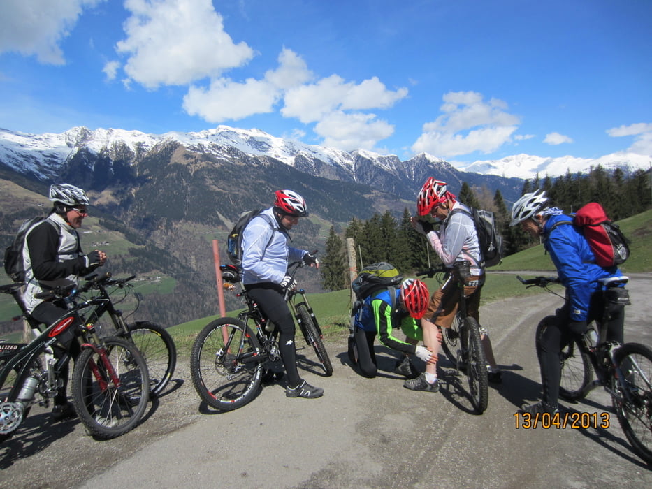
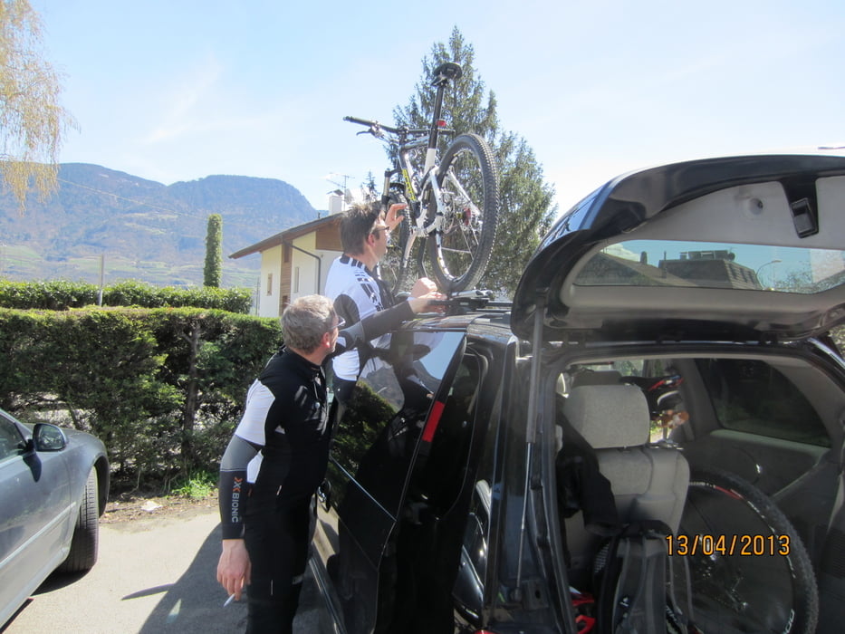
Galerie du tour

Carte du tour et altitude

  • Open Street Map
  • Google
Minimum height 233 m Maximum height 1456 m Vue de détail

More about the tour author

MargesinFriedrich
Member since 2012

Send private message

Commentaires

Ass6000 on 13.04.2013

;-)

Hallo Friedrich, danke das ich mit euch mit durfte! Super Panorama.... ;-)

Salti on 14.04.2013

Super Runde

Ciao Bita , tolle Runde , und ich war pünktlich zum Essen zu Hause ;-)

Gruß Fg

Tracks GPS

Trackpoints
  • GPX / Garmin Map Source (gpx) download
  • TCX / Garmin Training Center® (tcx) download
  • CRS / Garmin Training Center® (crs) download
  • Google Earth (kml) download
  • G7ToWin (g7t) download
  • TTQV (trk) download
  • Overlay (ovl) download
  • Fugawi (txt) download
  • Kompass (DAV) Track (tk) download
  • Feuille de tours (pdf) download
  • Original file of the author (gpx) download

More about the tour author

MargesinFriedrich
Member since 2012

Send private message
Share track
Add to my favorites
Remove from my favorites
Edit tags
My score
Rate
Tour: Meran-Taser-Meran(ohne Trail)
Cat.: Mountainbike
Longueur: 32,4 km
Evaluated on:
Durée:
Day(s)
Hour(s)
Minute(s)
Evaluation: Paysage Aspect amusement Condition Technique