


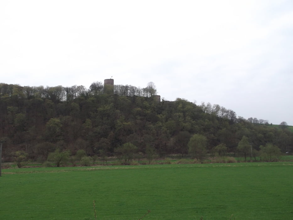
Die Tour wurde im Kölner Stadtanzeiger präsentiert (siehe Link). Sie ist eine Rundtour und führt vom Ort Bödingen über den Natursteig Sieg. Es ist eine landschaftlich abwechslungsreiche Tour, durch Laub- Nadelwälder aber auch durch Wiesen und am Fluss entlang. Der größte Teil ist leicht auf Waldwegen zu gehen (Nur der Abstieg vom Stachelberg ist schwierig/Alpin)
Further information at
http://www.ksta.de/freizeit/tippeltour-298-mit-blick-auf-die-burg,15190120,16320184.htmlGalerie du tour

Carte du tour et altitude
Minimum height 66 m
Maximum height 270 m
More about the tour author

|
jeck_dormagen |
Commentaires

Navi:
Auf dem Driesch in Hennef-Bödingen (Wanderpakpltz am Ende der Straße)
Tracks GPS
Trackpoints-
GPX / Garmin Map Source (gpx) download
-
TCX / Garmin Training Center® (tcx) download
-
CRS / Garmin Training Center® (crs) download
-
Google Earth (kml) download
-
G7ToWin (g7t) download
-
TTQV (trk) download
-
Overlay (ovl) download
-
Fugawi (txt) download
-
Kompass (DAV) Track (tk) download
-
Feuille de tours (pdf) download
-
Original file of the author (gpx) download
More about the tour author
|
|
jeck_dormagen |
Add to my favorites
Remove from my favorites
Edit tags
Open track
My score
Rate