
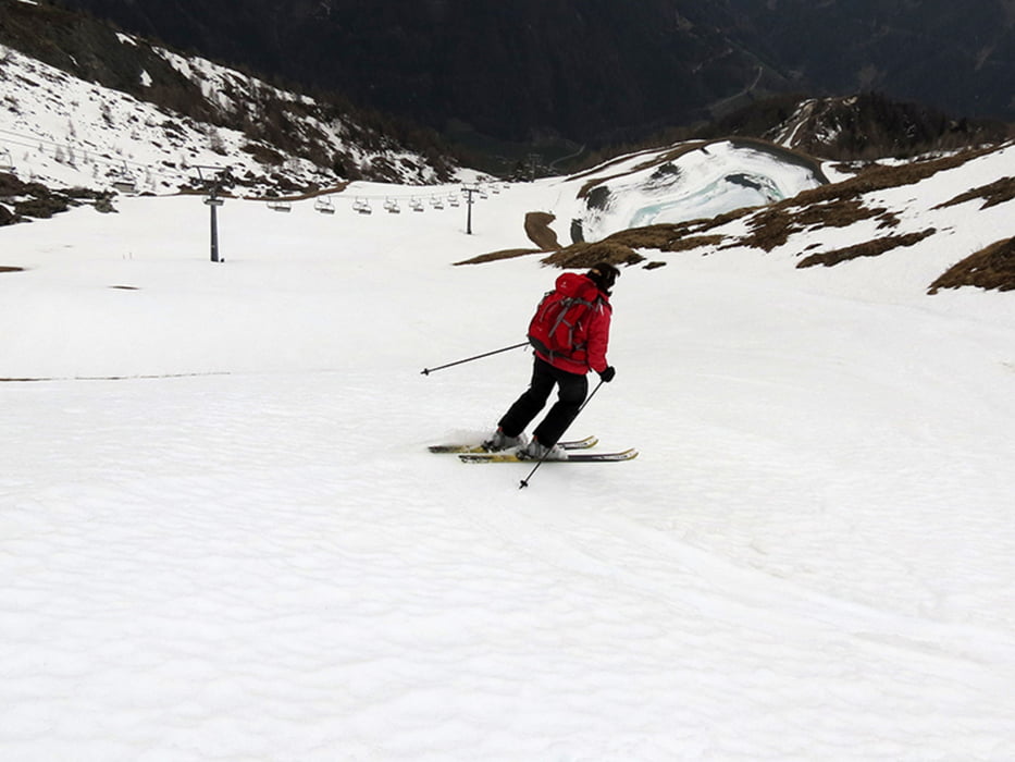

Start in Kals-Grossdorf am Figolift, erstes Stück des Aufstiegs bis zum neuen Großglockner Mountain Resort über Wiesen mit Schneeflecken, dann weiter mit Ski immer über Piste 17 bis zur Bergstation Blauspitz, Rast an der Kapelle und auf der Terasse des Bergrestaurants.
Galerie du tour

Carte du tour et altitude
Minimum height 1376 m
Maximum height 2301 m
More about the tour author
|
|
biauwe |
Commentaires

Über Lienz ins Kalser Tal oder über Felbertauern-Strasse
Tracks GPS
Trackpoints-
GPX / Garmin Map Source (gpx) download
-
TCX / Garmin Training Center® (tcx) download
-
CRS / Garmin Training Center® (crs) download
-
Google Earth (kml) download
-
G7ToWin (g7t) download
-
TTQV (trk) download
-
Overlay (ovl) download
-
Fugawi (txt) download
-
Kompass (DAV) Track (tk) download
-
Feuille de tours (pdf) download
-
Original file of the author (gpx) download
More about the tour author
|
|
biauwe |
Add to my favorites
Remove from my favorites
Edit tags
Open track
My score
Rate