Login

Login oublié ?

Cookies have to be accepted!
Your browser's cookie functionality is disabled. Please enable this functionality.

Not a member yet?

Register now
Login

Available for registred users only

Log in to use this feature.

Login oublié ?

Cookies have to be accepted!
Your browser's cookie functionality is disabled. Please enable this functionality.

Not a member yet?

Register now
Filter
Catégories
Advanced filters
  • Longueur (km)
  • Altimètre
Enregistrer le filtre Reset filter

TrackRank

QRCode

Technical data

Longueur8,8 km Altimètre208 m Way down202 m Durée04:00 h:m Date05.05.2013
Evaluations Author Paysage Aspect amusement Condition Technique

Statistiques

803 Vues Evaluations 8 Téléchargements Moyenne
Rate
  • Feuille de tours
  • Arrivée
  • Téléchargements

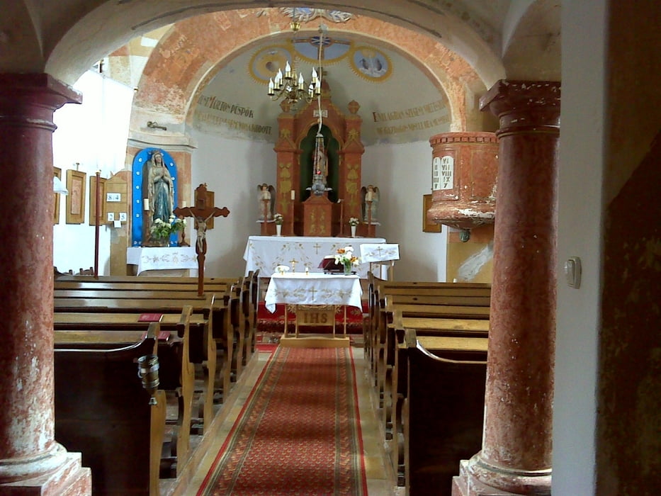
István barátom ajánlására kerestük fel Óbudavárt ami az ország egyik legkisebb lélekszámú települése. Nyugodtan mondhatom megérte, tényleg gyönyörő.

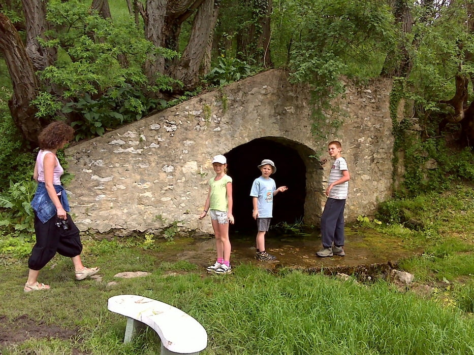
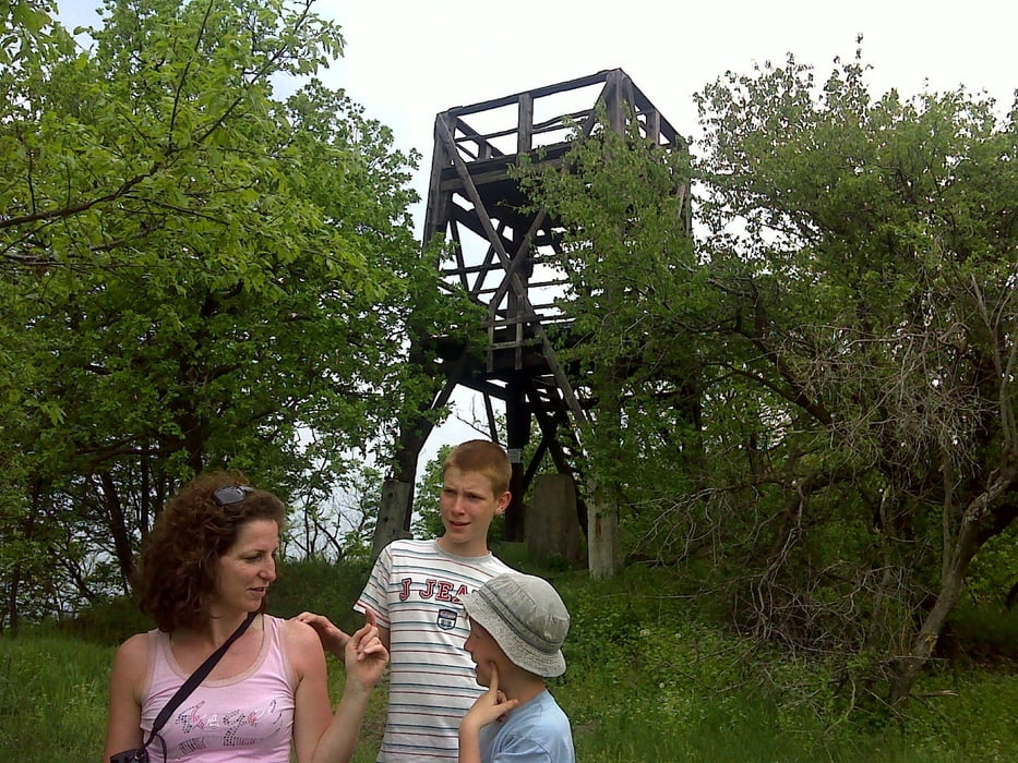
Utána kicsit lefárasztottuk magunkat Halomhegyen, maj visszatérve Óbudavárra friss házi kecskesajtot vettünk.

Galerie du tour

Carte du tour et altitude

  • Open Street Map
  • Google
Minimum height 261 m Maximum height 407 m Vue de détail

More about the tour author

anyosati
Member since 2013

Send private message

Commentaires

Tracks GPS

Trackpoints
  • GPX / Garmin Map Source (gpx) download
  • TCX / Garmin Training Center® (tcx) download
  • CRS / Garmin Training Center® (crs) download
  • Google Earth (kml) download
  • G7ToWin (g7t) download
  • TTQV (trk) download
  • Overlay (ovl) download
  • Fugawi (txt) download
  • Kompass (DAV) Track (tk) download
  • Feuille de tours (pdf) download
  • Original file of the author (gpx) download

More about the tour author

anyosati
Member since 2013

Send private message
Share track
Add to my favorites
Remove from my favorites
Edit tags
My score
Rate
Tour: Óbudavár-Halomhegy
Cat.: Luge
Longueur: 8,8 km
Evaluated on:
Durée:
Day(s)
Hour(s)
Minute(s)
Evaluation: Paysage Aspect amusement Condition Technique