


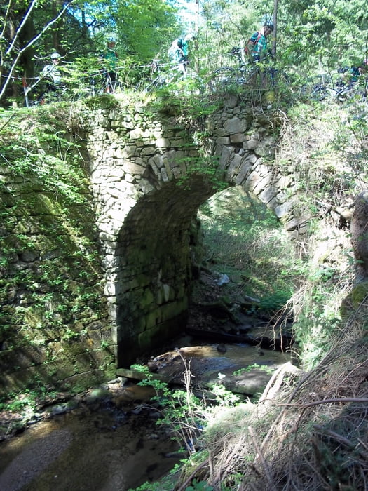
Start am Bahnhof in Freistadt, wir folgten weiter dem Pferdeeisenbahnweg bis Kerschbaum. Weiter ging es auf dem Nordwaldkammweg über Pramhöf auf den Reisingerberg. Zwischen unzähligen Ameisenhaufen muß das Rad einige Höhenmeter geschoben werden. Zwischenstop beim Opferstein. Oben angelangt, folgt man dem Waldlehrpfad bis Pieberschlag. Mittag entweder im GH Waldlehrpfad oder ein paar km weiter in Mardetschlag. Von Martetschlag gehts richtung Oberpaßberg. Wir folgten dem Mühlenweg und gelangten vor Rainbach ins Thurytal und entlang der Feldaist bis nach Freistadt und zurück zum Bahnhof. Herrliche Auf- und Abfahrten. Hoher Anteil an Wald- und Wiesenwegen. Leichte aber sehr schöne Tour.
Galerie du tour


Carte du tour et altitude
Minimum height 553 m
Maximum height 843 m
More about the tour author

|
Rammre |
Commentaires

Abfahrt vomBahnhof Freistadt
Tracks GPS
Trackpoints-
GPX / Garmin Map Source (gpx) download
-
TCX / Garmin Training Center® (tcx) download
-
CRS / Garmin Training Center® (crs) download
-
Google Earth (kml) download
-
G7ToWin (g7t) download
-
TTQV (trk) download
-
Overlay (ovl) download
-
Fugawi (txt) download
-
Kompass (DAV) Track (tk) download
-
Feuille de tours (pdf) download
-
Original file of the author (gpx) download
More about the tour author
|
|
Rammre |
Add to my favorites
Remove from my favorites
Edit tags
Open track
My score
Rate