


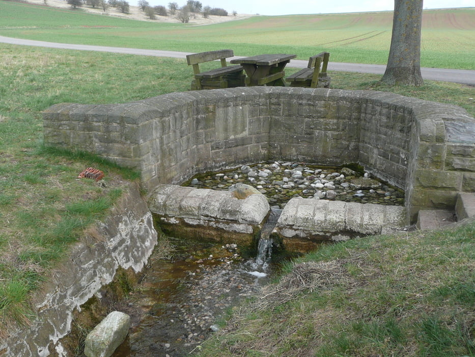
Diese Wanderung führt uns zunächst von der St. Ursula Kapelle zur Saale Quelle.
Nun folgen wir den Wiesenweg nach Alsleben wo es eine schöne Kirche zu besichtigen gibt.
Beim Sportplatz folgen wir den Wanderweg nach Ipthausen.
Das Berghäuschen bietet einen schönen Blick ins Grabfelderland.
In Ipthausen gibt es eine der schönsten Wallfartskirchen in Unterfranken zu besichtigen.
Nun laufen wir entlang einer Birkenallee nach Bad Königshofen.
In Ipthausen gibt es einen Biergarten zum Einkehren
Further information at
http://issuu.com/matthiasreichert/docs/wandern_im_saaletal_ausgabe_1?mode=windowGalerie du tour
Carte du tour et altitude
Minimum height 270 m
Maximum height 392 m
More about the tour author
|
|
maffy |
Commentaires

Münnerstadt Richtung Großwenkeim fahren und weiter nach Bad Königshofen.
Bad Königshofen Bremerstr
St. Ursula Kapelle bei Alsleben
Tracks GPS
Trackpoints-
GPX / Garmin Map Source (gpx) download
-
TCX / Garmin Training Center® (tcx) download
-
CRS / Garmin Training Center® (crs) download
-
Google Earth (kml) download
-
G7ToWin (g7t) download
-
TTQV (trk) download
-
Overlay (ovl) download
-
Fugawi (txt) download
-
Kompass (DAV) Track (tk) download
-
Feuille de tours (pdf) download
-
Original file of the author (gpx) download
More about the tour author
|
|
maffy |
Add to my favorites
Remove from my favorites
Edit tags
Open track
My score
Rate